Topics > Geography > Rivers > River South Tyne > Thinhope Burn
Thinhope Burn
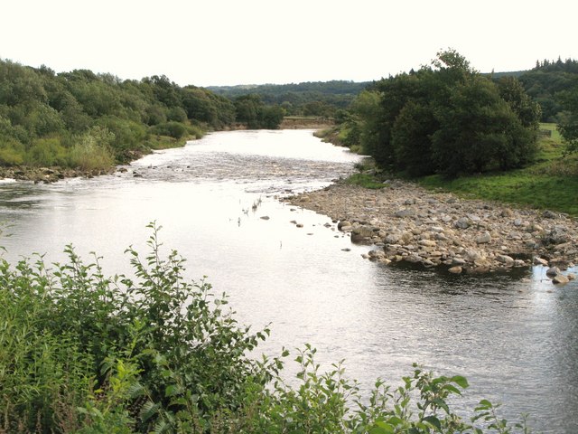
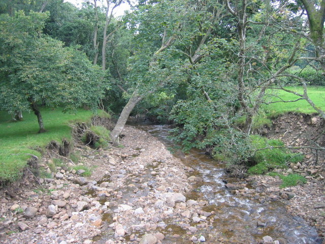
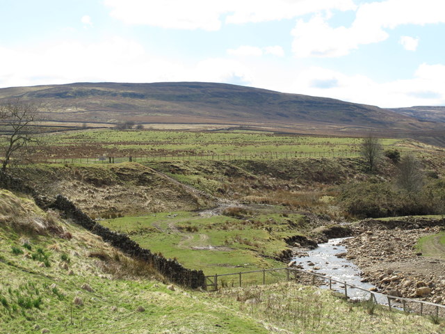
Thinhope Burn is a river in Northumberland, which is a tributary of the River South Tyne. The burn is about 7km long and has a catchment area of 12.6 km2.[1]
Co-Curate Page
Burnstones Bridge
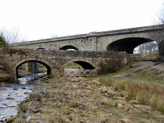
- Overview Map Street View Burnstones Bridge carries the A689 road over Thinhope Burn. The bridge, at Burnstones, dates from the 18th century; it was rebuilt in 1940 from original materials …

from https://environment.data.gov.…
Thinthorpe Burn Catchment (Trib of South Tyne)
Added by
Simon Cotterill
Co-Curate Page
Burnstones, Northumberland
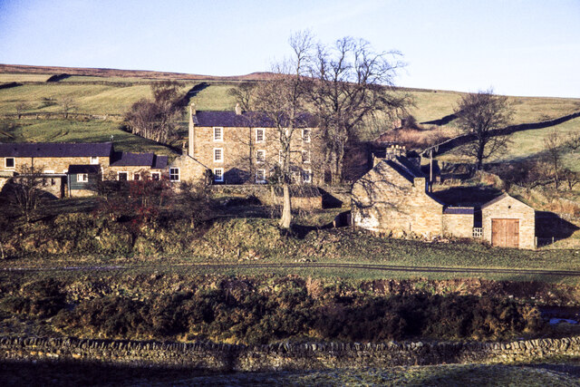
- Overview Map Street View Burnstones is a hamlet in Northumberland, located off the A689 road, about 6 miles south-west of Haltwhistle and 5 miles north of Alston. The settlement is …
from Geograph (geograph)
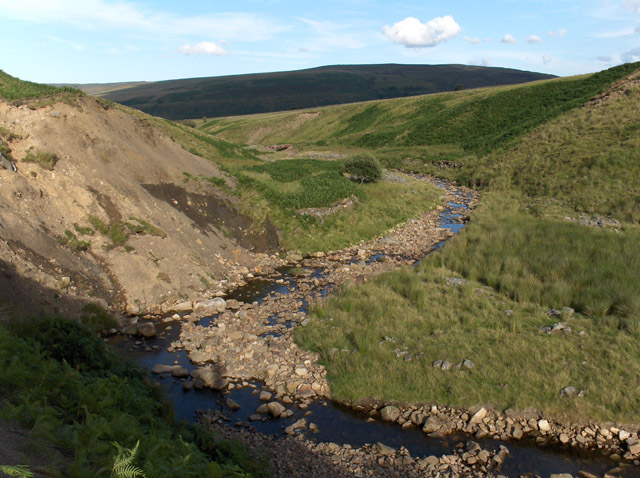
Thinhope Burn and rough pastures west of Knarsdale
Pinned by Simon Cotterill
Co-Curate Page
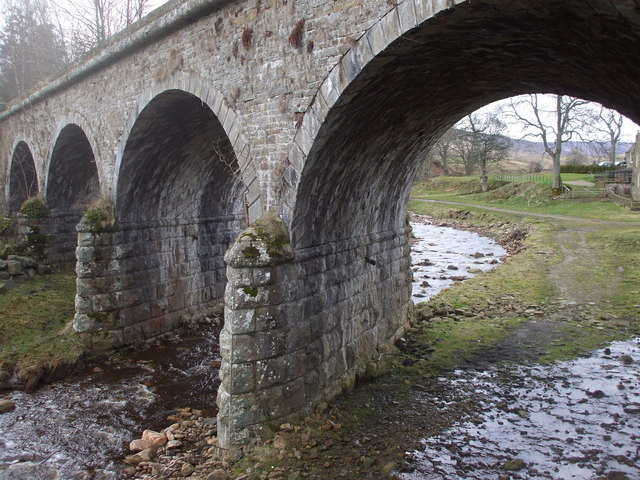
Burnstones Railway Viaduct
- Overview Map Street View Burnstones Viaduct was built by Sir George Barclay Bruce in 1852 to carry the Haltwhistle and Alston Moor branch of the Newcastle and Carlisle Railway Company, …

Co-Curate Page
Burnstones Bridge
- Overview Map Street View Burnstones Bridge carries the A689 road over Thinhope Burn. The bridge, at Burnstones, dates from the 18th century; it was rebuilt in 1940 from original materials …
from https://environment.data.gov.…
Thinthorpe Burn Catchment (Trib of South Tyne)
Added by
Simon Cotterill
Co-Curate Page
Burnstones, Northumberland
- Overview Map Street View Burnstones is a hamlet in Northumberland, located off the A689 road, about 6 miles south-west of Haltwhistle and 5 miles north of Alston. The settlement is …
from Geograph (geograph)
Thinhope Burn and rough pastures west of Knarsdale
Pinned by Simon Cotterill