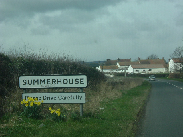
Topics > Tees Valley > Summerhouse > Summerhouse moated site
Summerhouse moated site
Note: Map data from Historic England c/o Open Data UK, under the Open Government Licence, imported into Google MyMaps, March 2026
In medieval times there was a defended manor house in Summerhouse. It had a moat, drawing water from Sumerhouse Beck, which was located to the south of the village green.[1] This was reputedly the summer residence of the Lords of Raby, from which the name of the village is derived. The site is a Scheduled Monument.
Scheduled Monument (#1011265): Summerhouse moated site and associated drainage channels, enclosure and field system
Click the headings below to expand (selected extracts from the Historic England scheduling)
Although a large number of moated sites survive in England relatively few are known in the northern counties including County Durham. The site at Summerhouse survives well and features such as the tower suggest it formerly supported a building of some importance. Additionally, its dominant position at one end of the village green indicates that it had an important role in the life of the medieval village.
The monument includes a medieval moated site and its related drainage channels, a rectangular enclosure and part of an adjacent field system. The monument is situated on level ground immediately adjacent to Summerhouse Beck and at the southern end of a long village green, now encroached upon by other buildings.
The moated site is rectangular in shape and measures 15m east-west by 20m north-south within a ditch 10m wide and up to 1m deep. At the south- western corner of the enclosed island there are the remains of a circular structure measuring 12m in diameter interpreted as the remains of a tower. The site has the appearance of a defended manor house situated at one end of the village green.
Adjoining the moated site at its south-eastern corner is a series of ditches, drainage channels with well defined banks to the outside. The ditches are 10m wide and the banks survive to a height of 1.5m above the bottom of the ditches. These channels are placed roughly at right angles to each other and represent a form of water regulation associated with the moated site.
Immediately to the south of the moated site is a rectangular enclosure, the remains of a substantial building measuring 23m by 10m within a slight bank 2m across. The remains of at least two other enclosures, of agricultural function, lie to the west of the moated site. At the southern end of the site part of the rig and furrow cultivation of the associated medieval field system is preserved, apparently bounded by the banks and ditches of the drainage system.

from https://historicengland.org.u…
Summerhouse moated site and associated drainage channels, enclosure and field system
- "....Although a large number of moated sites survive in England relatively few are known in the northern counties including County Durham. The site at Summerhouse survives well and features such …
Added by
Simon Cotterill
from https://www.gatehouse-gazette…
Summerhouse Moat
- ....Obscure traces of extensive foundations remain in a field on the south side of the village, which are locally called "The Castle Garth." (Surtees conjectures the name of the township …
Added by
Simon Cotterill