Topics > Northumberland > Stamford
Stamford
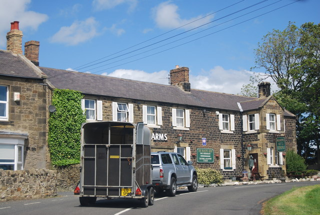
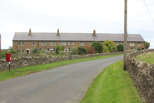
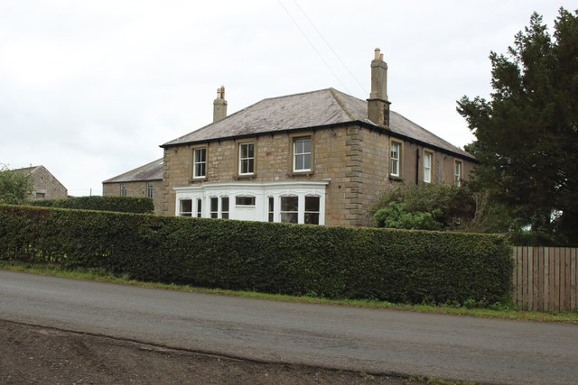
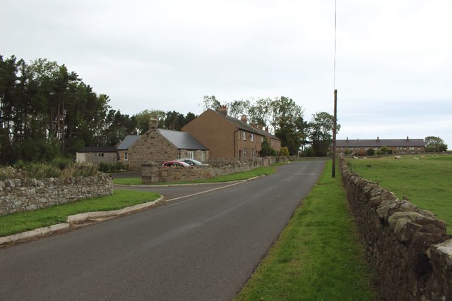
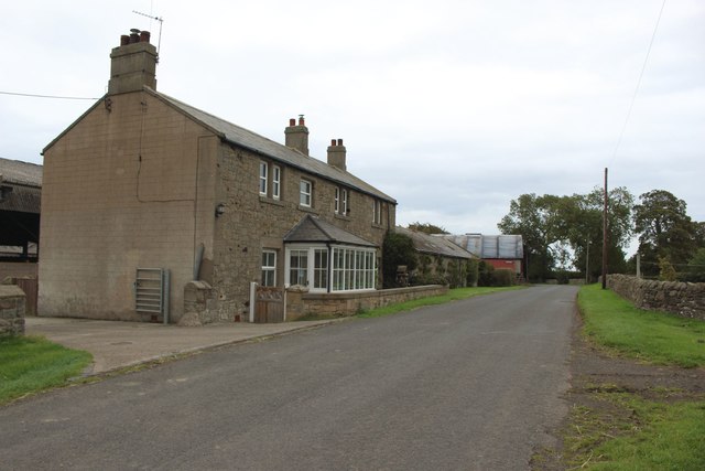
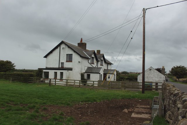
Stamford is a hamlet in Northumberland located about 4 miles north-east of Alnwick and just over half a mile from the village of Rennington. Stamford is part of the Civil Parish of Rennington; historically it was within the ancient Parish of Embleton. At Stamford are the earthwork remains of a deserted medieval village.[1]
STAMFORD, a township, in the parish of Embleton, union of Alnwick, S. division of Bambrough ward, N. division of Northumberland, 6 miles (N.E. by N.) from Alnwick; containing 90 inhabitants. It comprises 1,560 acres, of which 230 are rich old pasture: limestone and coal are both wrought on the estate, which is the property of the Earl of Tankerville. The village is small, and situated about a mile north-east from Rennington, Embleton lying to the north; it is also about midway between the coast and the road from Belford to Alnwick.
Extract from: A Topographical Dictionary of England comprising the several counties, cities, boroughs, corporate and market towns, parishes, and townships..... 7th Edition, by Samuel Lewis, London, 1848.


from https://keystothepast.info/se…
Stamford (Rennington)
- "This is the site of the deserted medieval village of Stamford. It was first recorded in the 13th century, but had declined by the 18th century. There were many earthwork …
Added by
Simon Cotterill

Co-Curate Page
Embleton Parish, 1855
- Extract from: History, Topography, and Directory of Northumberland...Whellan, William, & Co, 1855. EMBLETON PARISH EMBLETON parish comprises the chapelries of Rock and Rennington, and the townships of Broxfield, Brunton …

from https://keystothepast.info/se…
Stamford (Rennington)
- "This is the site of the deserted medieval village of Stamford. It was first recorded in the 13th century, but had declined by the 18th century. There were many earthwork …
Added by
Simon Cotterill