Topics > Civil Parishes in Cumbria > Skelwith Civil Parish
Skelwith Civil Parish
Area: 11.4 km²
Population:
133 (2021 Census)
155 (2011 Census)
185 (2001 Census)
from https://skelwith.community/pa…
Skelwith Parish Council
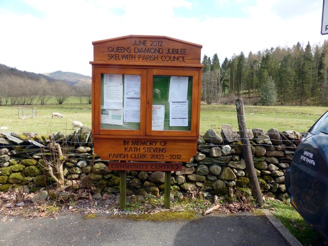
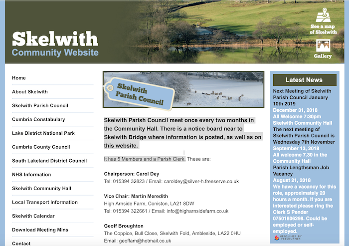
- "Skelwith Parish Council meet once every two months in the Community Hall. There is a notice board near to Skelwith Bridge where information is posted, as well as on this …
Added by
Edmund Anon
Co-Curate Page
Skelwith Bridge
- Overview Map Street View Skelwith Bridge is a settlement in the Lake District, situated by the River Brathey. It is located about 2 miles west of the town of Ambleside …
Co-Curate Page
Oxen Fell, Cumbria
- Overview Map Oxen Fell is a large fell located to the north-east of Coniston Water, in the Lake District. Towards the western side of the fell are Low Oxen Fell, …

Co-Curate Page
Skelwith and District Community Centre
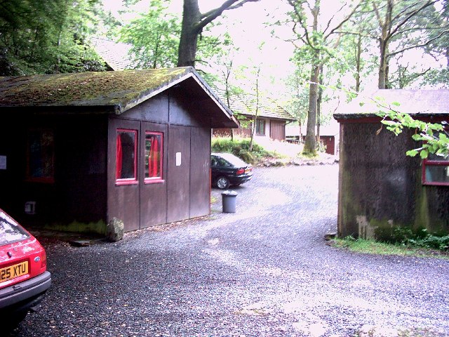
- Overview Map Street View Skelwith and District Community Centre is located a short distance south of Skelwith Bridge. The centre is run by the Skelwith and District Community Trust, a …

Co-Curate Page
Bull Close, Skelwith
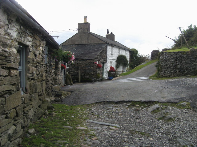
- Overview Map Street View Bull Close is a hamlet in Cumbria, located south-west of Skelwith Fold. There a 4 residences in the hamlet, including three joined stone rubble houses (Bull …

Co-Curate Page
Skelwith Fold
- Overview Map Street View Skelwith Fold is a hamlet in Cumbria, located near the head of Windermere (lake), about 1½ mile south-west of Ambleside and ½ mile south-west of Skelwith …


from https://skelwith.community/pa…
Skelwith Parish Council
- "Skelwith Parish Council meet once every two months in the Community Hall. There is a notice board near to Skelwith Bridge where information is posted, as well as on this …
Added by
Edmund Anon

Co-Curate Page
Skelwith Bridge
- Overview Map Street View Skelwith Bridge is a settlement in the Lake District, situated by the River Brathey. It is located about 2 miles west of the town of Ambleside …

Co-Curate Page
Oxen Fell, Cumbria
- Overview Map Oxen Fell is a large fell located to the north-east of Coniston Water, in the Lake District. Towards the western side of the fell are Low Oxen Fell, …

Co-Curate Page
Skelwith and District Community Centre
- Overview Map Street View Skelwith and District Community Centre is located a short distance south of Skelwith Bridge. The centre is run by the Skelwith and District Community Trust, a …

Co-Curate Page
Bull Close, Skelwith
- Overview Map Street View Bull Close is a hamlet in Cumbria, located south-west of Skelwith Fold. There a 4 residences in the hamlet, including three joined stone rubble houses (Bull …

