Topics > Northumberland > Sipton

Sipton


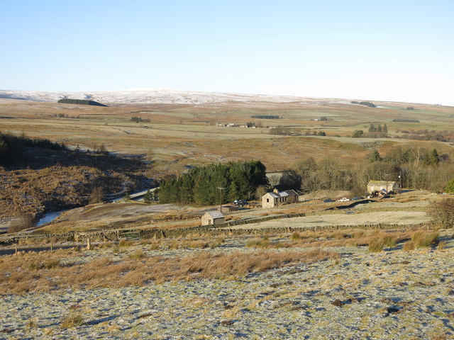
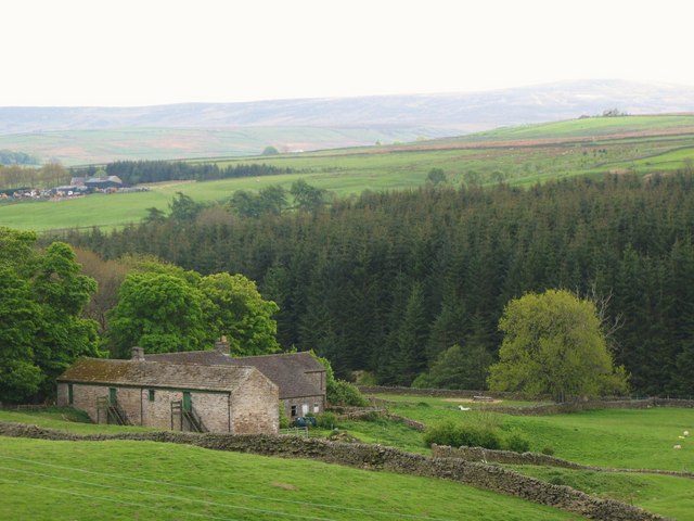
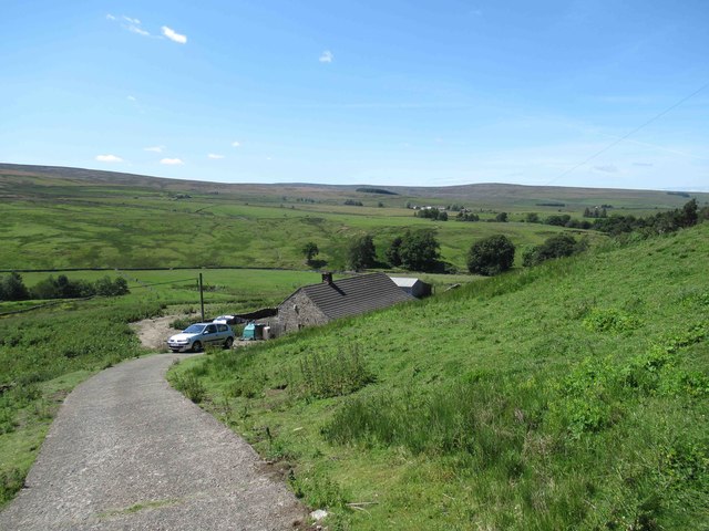
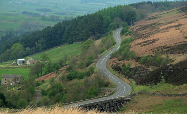
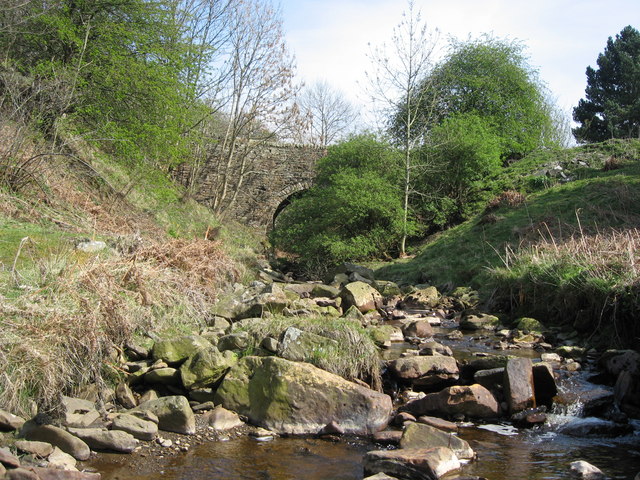
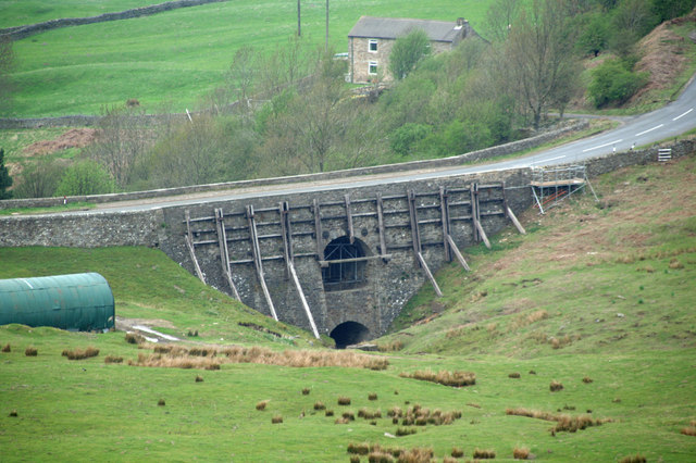
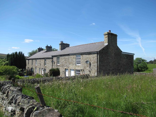
Sipton is located just under 4 miles south of Allerdale Town and half mile north of Spartylea in Northumberland. It is situated by Sipton Burn, near its confluence with the River East Allen. There are a few farms nearby, including Low Sipton Shield and High Sipton Shield. In the past was the location of a lead mine - Sipton Mine. Sipton Terrace is a row of occupied houses here, which were built in association with the mine. There are still a few disused mining buildings remaining, including the old Powder House. Sipton Bridge carries the B6295 road over Sipton Burn here. There is also a packhorse bridge over the burn nearby. Sipton is within Allerdale Civil Parish and in the North Pennines AONB.

Northumberland Allendale Civil Parish Sipton Burn (trib. River East Allen) Old Powder House of Sipton Mine Packhorse bridge over Sipton Burn Sipton Bridge, over Sipton Sike Sipton Mine Sipton Terrace
from Allen Valleys Local History (flickr)
Sipton 1965 [0002-150]

Pinned by Simon Cotterill
from Geograph (geograph)
Site of the former Sipton lead mine

Pinned by Simon Cotterill
from Allen Valleys Local History (flickr)
Sipton 1910 [0002-154]

Pinned by Pat Thomson
from Geograph (geograph)
Low Sipton Shield

Pinned by Pat Thomson
from Geograph (geograph)
High Sipton Shield

Pinned by Pat Thomson
from Geograph (geograph)
B6295

Pinned by Pat Thomson

Comments

Add a comment or share a memory.

Login to add a comment. Sign-up if you don't already have an account.


ABOUT US

Co-Curate is a project which brings together online collections, museums, universities, schools and community groups to make and re-make stories and images from North East England and Cumbria. Co-Curate is a trans-disciplinary project that will open up 'official' museum and 'un-officia'l co-created community-based collections and archives through innovative collaborative approaches using social media and open archives/data.

LATEST SHARED RESOURCES