Topics > Geography > Rivers > River Allen > River East Allen > Sipton Burn (trib. River East Allen)
Sipton Burn (trib. River East Allen)
Co-Curate Page
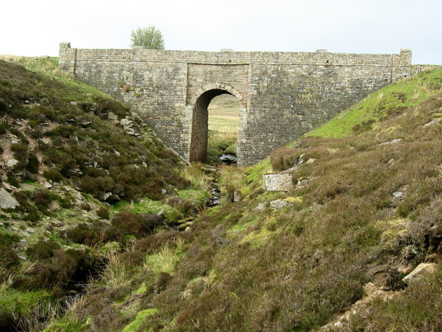
Bridge over Sipton Burn on the Long Drag
- Overview Map This bridge, dated 1878 and inscribed with the initials W.B.B., carries the Long Drag (road) over Sipton Burn. It is located about a mile north-east of Spartylea. The …
Co-Curate Page
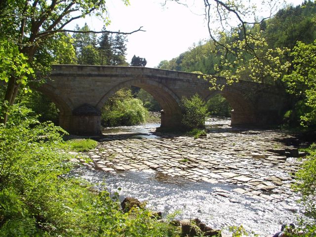
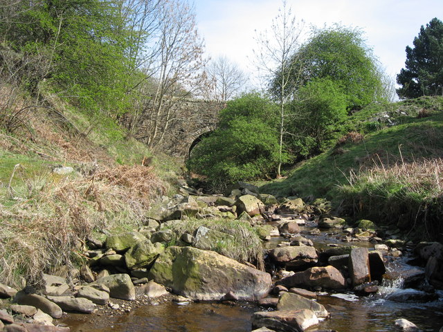
Sipton Bridge, over Sipton Sike
- Overview Map Street View Sipton Bridge carries the B6295 road over Sipton Sike. The bridge at Sipton dates from the early 19th century and is located about half mile north …
Co-Curate Page
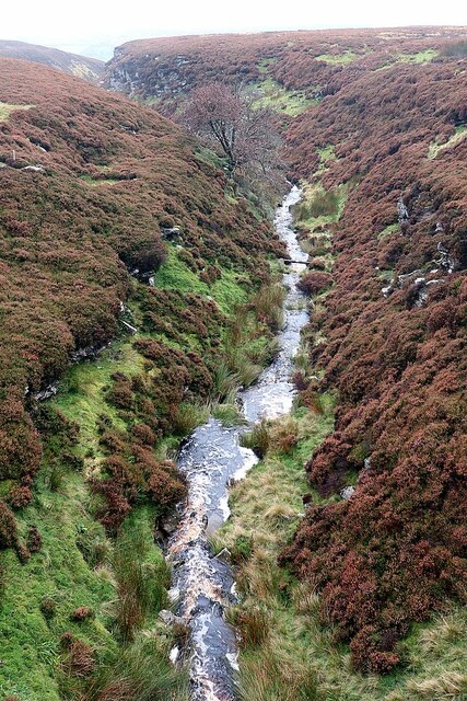
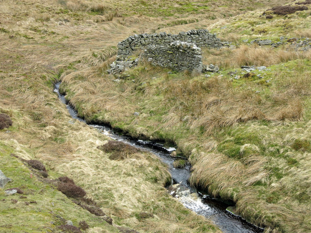
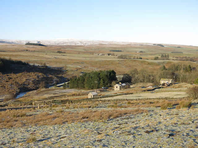
Sipton
- Overview Map Street View Sipton is located just under 4 miles south of Allerdale Town and half mile north of Spartylea in Northumberland. It is situated by Sipton Burn, near …

Co-Curate Page
Bridge over Sipton Burn on the Long Drag
- Overview Map This bridge, dated 1878 and inscribed with the initials W.B.B., carries the Long Drag (road) over Sipton Burn. It is located about a mile north-east of Spartylea. The …
Co-Curate Page
Sipton Bridge, over Sipton Sike
- Overview Map Street View Sipton Bridge carries the B6295 road over Sipton Sike. The bridge at Sipton dates from the early 19th century and is located about half mile north …