Topics > Geography > Rivers > River South Tyne > Newbrough Burn (trib. South Tyne) > Settlingstones Burn

Settlingstones Burn


Map showing the lower course of Settlingstones Burn (4.3 km long).

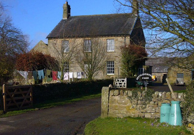
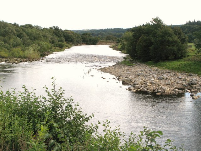
Settlingstones Burn is a tributary of Newbrough Burn, which goes on to hoin the River South Tyne. The burn flows close to the settlement of Settlingstones, where there was once a substantial witherite mine. Settlingstones Burn has several tributaries, including Cowey Sike. Its notable that there is a spring feeding this water course, to the west of Grindon Farm. There is also Shield on the Wall Dam to the north-west.

Newbrough Burn (trib. South Tyne) Settlingstones
Settlingstones
  Co-Curate Page
Settlingstones

Comments

Add a comment or share a memory.

Login to add a comment. Sign-up if you don't already have an account.


ABOUT US

Co-Curate is a project which brings together online collections, museums, universities, schools and community groups to make and re-make stories and images from North East England and Cumbria. Co-Curate is a trans-disciplinary project that will open up 'official' museum and 'un-officia'l co-created community-based collections and archives through innovative collaborative approaches using social media and open archives/data.

LATEST SHARED RESOURCES