Low Buston medieval settlement, 231m south east of Low Buston Hall


-
Description
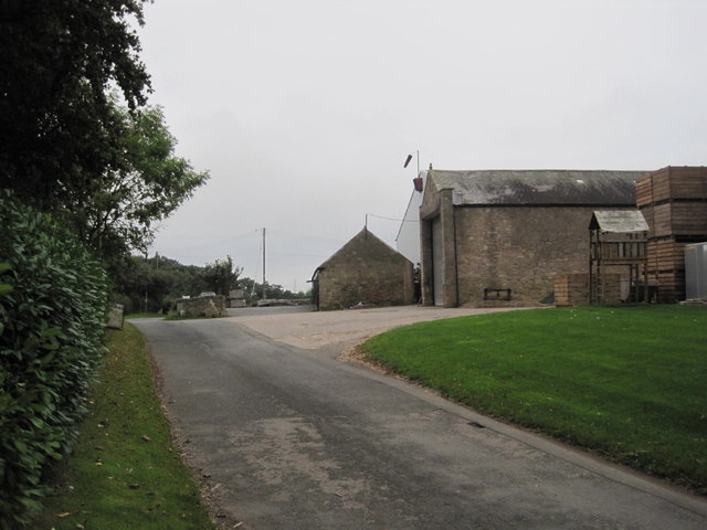
"....The monument includes the shrunken remains of a settlement of medieval date, situated on a slight ridge adjacent to Tylee Burn. The medieval plan of the village is a type well known in this part of Northumberland, in which a single row, or two parallel rows of houses face onto a rectangular village green or hollow way, with crofts or garden areas to the rear. This type of village in northern England is thought to be the result of deliberate planning by Norman rulers attempting to exert control over a rebellious region during the 11th and 12th centuries. The remains of the settlement are visible as a series of low earthworks and comprise a hollow way oriented north-west to south-east forming the main village street with, on either side, the foundations of small rectangular houses (tofts) 8m to 9m long and the remains of small field plots (crofts) behind....." -
Owner
Historic England -
Source
Local (Co-Curate) -
License
What does this mean? Unknown license check permission to reuse
-
Further information
Link: https://historicengland.org.uk/listing/the-list/list-entry/1006502
Resource type: Text/Website
Added by: Simon Cotterill
Last modified: 7 years, 8 months ago
Viewed: 831 times
Picture Taken: Unknown -
Co-Curate tags


