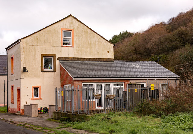
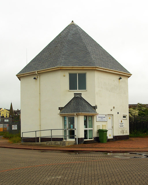
Site of "White Swan" pub, Nelson Street, Maryport - October 2017

-
Description
"Appearing on the 1866 OS Map, the "White Swan" was acquired by the State Management Scheme in November 1918. As it is not shown on the 1925 OS Map, it was probably instantly closed following purchase. The building seen here was not part of the pub - OS Maps suggest the "White Swan" was situated within the fenced area now surrounding an electricity sub-station. Date of demolition has not been found, but seems to be post-1970." Photo by The Carlisle Kid, 2017. -
Owner
The Carlisle Kid -
Source
Geograph (Geograph) -
License
What does this mean? Creative Commons License
-
Further information
Link: http://www.geograph.org.uk/photo/5581568
Resource type: Image
Added by: Simon Cotterill
Last modified: 7 years, 4 months ago
Viewed: 893 times
Picture Taken: 2017-10-27 -
Co-Curate tags


