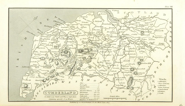
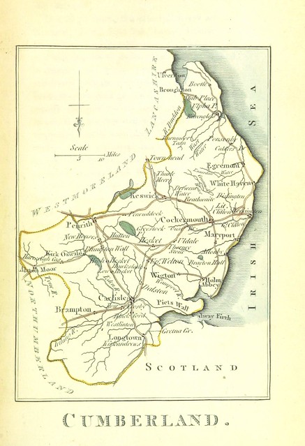
Image taken from page 293 of '[A Topographical Dictionary of the United Kingdom ... accompanied by forty-six maps, etc.]'
-
Description
http://britishlibrary.georeferencer.com/id/11006357063" rel="nofollow">View this map on the BL Georeferencer service. Image taken from: Title: "[A Topographical Dictionary of the United Kingdom ... accompanied by forty-six maps, etc.]" Author: Capper, Benjamin Pitts. Shelfmark: "British Library HMNTS 10347.k.4." Volume: 01 Page: 293 Place of Publishing: London Date of Publishing: 1825 Publisher: G. B. Whittaker Edition: [Another edition.] Issuance: monographic Identifier: 000600831 Explore: Find http://explore.bl.uk/primo_library/libweb/action/search.do?cs=frb&doc=BLL01000600831&dscnt=1&scp.scps=scope:(BLCONTENT)&frbg=&tab=local_tab&srt=rank&ct=search&mode=Basic&dum=true&tb=t&indx=1&vl(freeText0)=000600831&fn=search&vid=BLVU1" rel="nofollow">this item in the British Library catalogue, 'Explore'. http://access.bl.uk/item/pdf/lsidyv315c91f4" rel="nofollow">Download the PDF for this book (volume: 01) Image found on book scan 293 (NB not necessarily a page number) Download the OCR-derived text for this volume: https://blmc.blob.core.windows.net/ocrplaintext/000600831_01.txt" rel="nofollow">(plain text) or https://blmc.blob.core.windows.net/ocrjson/000600831_01_text.json" rel="nofollow">(json) Click http://www.flickr.com/photos/britishlibrary/tags/sysnum000600831">here to see all the illustrations in this book and click http://www.flickr.com/photos/britishlibrary/tags/date1825">here to browse other illustrations published in books in the same year. http://bit.ly/1b3VS7i" rel="nofollow">Order a higher quality version from here. -
Owner
The British Library -
Source
Flickr (Flickr) -
License
What does this mean? No known copyright restrictions -
Further information
Link: https://www.flickr.com/photos/12403504@N02/11006357063/
Resource type: Image
Added by: Simon Cotterill
Last modified: 7 years, 5 months ago
Viewed: 708 times
Picture Taken: 2013-11-23T08:29:45 -
Co-Curate tags


