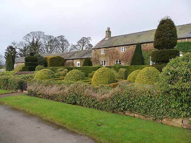
Hartington shrunken village (Rothley with Hollinghill)

-
Description
"To the south Tut Hill and Delf Burn farms are earthworks that show that Hartington was once of greater extent. These earthworks take the form of irregular platforms and garths. In places they have been ploughed over with broad ridge and furrow cultivation. Medieval documents refer to both "East" and "West Hertwayton" suggesting that the original settlement was split into two parts during the middle ages...." -
Owner
Keys to the Past (Durham & Northumbria County Councils) -
Source
Local (Co-Curate) -
License
What does this mean? Unknown license check permission to reuse
-
Further information
Link: https://keystothepast.info/search-records/results-of-search/results-of-search-2/site-details/?PRN=N10410
Resource type: Text/Website
Added by: Simon Cotterill
Last modified: 7 years, 5 months ago
Viewed: 701 times
Picture Taken: Unknown -
Co-Curate tags


