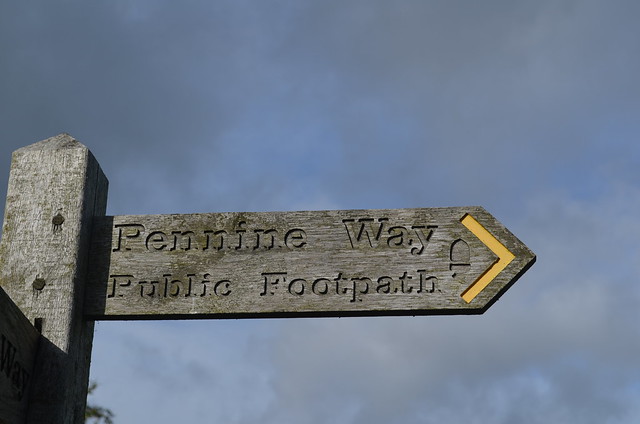
Pennine Way - Public Footpath

-
Description
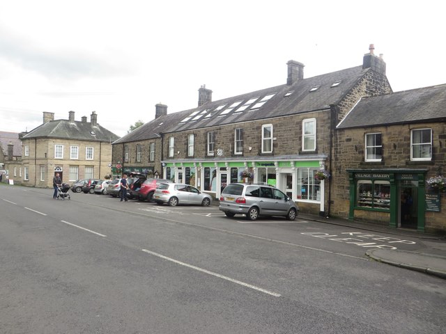
An effort is made to mark all public footpaths small or large in England. The well known Pennine Way, one of the major walking routes across England, goes right through this village. Bellingham is less than 40 miles from the north end of the path and the last town along for that final stretch. The Pennine Way "this National Trail chases along the mountain tops along the rugged backbone of England and offers 268 miles of the finest upland walking in England." -- https://www.nationaltrail.co.uk/pennine-way" rel="nofollow">www.nationaltrail.co.uk/pennine-way The Pennine Way is a route which goes North and South hitting some of the highest points in England. https://www.nationaltrail.co.uk/pennine-way/be-inspired" rel="nofollow">www.nationaltrail.co.uk/pennine-way/be-inspired -
Owner
Seattle.roamer -
Source
Flickr (Flickr) -
License
What does this mean? Attribution-NonCommercial-NoDerivs License
-
Further information
Link: https://www.flickr.com/photos/66277514@N00/36515295133/
Resource type: Image
Added by: Simon Cotterill
Last modified: 7 years, 6 months ago
Viewed: 785 times
Picture Taken: 2017-09-13T07:08:47 -
Co-Curate tags


