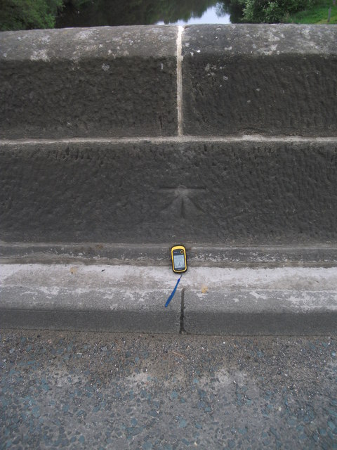
Ordnance Survey cut benchmark

-
Description
"An Ordnance Survey cut mark on the west parapet of the bridge. This indicates a height of 114.41m above sea level." Photo by Michael Rye, 2017. -
Owner
Michael Rye -
Source
Geograph (Geograph) -
License
What does this mean? Creative Commons License
-
Further information
Link: http://www.geograph.org.uk/photo/5400066
Resource type: Image
Added by: Simon Cotterill
Last modified: 7 years, 7 months ago
Viewed: 826 times
Picture Taken: 2017-05-21 -
Co-Curate tags


