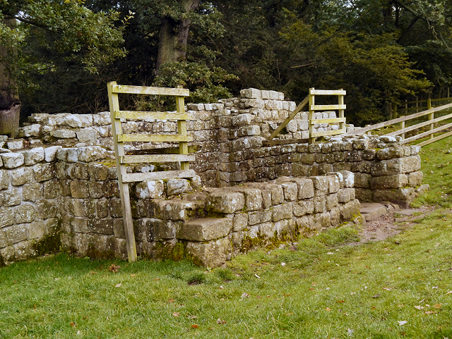
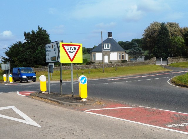
Hadrian's Wall and vallum between St Oswald's Cottages, east of Brunton Gate and the North Tyne in wall miles 25, 26 and 27 - List Entry

-
Description
"The monument includes the stretch of Hadrian's Wall, vallum and associated features between St Oswald's Cottages, east of Brunton Gate in the east and the River North Tyne in the west. This section occupies the west-facing side of the North Tyne valley. Hadrian's Wall bends slightly northwards at Dixon's Plantation and then follows a straight alignment all the way down to the crossing of the North Tyne. The B6318 road runs to the north of the Wall line for most of this section. The Wall is visible as an upstanding monument only in parts of this section. There is a 35m stretch of consolidated wall showing the junction between broad wall and narrow wall, at Planetrees, which is in the care of the Secretary of State. A second stretch of consolidated wall, 69m long and including turret 26b, is visible west of Brunton House....." -
Owner
Historic England -
Source
Local (Co-Curate) -
License
What does this mean? Unknown license check permission to reuse
-
Further information
Link: https://historicengland.org.uk/listing/the-list/list-entry/1018581
Resource type: Text/Website
Added by: Simon Cotterill
Last modified: 7 years, 7 months ago
Viewed: 567 times
Picture Taken: Unknown -
Co-Curate tags


