Tyne and Wear HER(11425): Heaton Park and Armstrong Park

-
Description
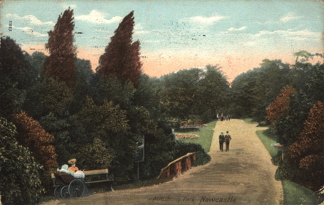
"On the south side of Armstrong Bridge is Armstrong Park, which is on the wooded east bank of the Dene. Paths lead through woodland with views of the Ouse Burn to the west. The area is marked Bulman Woods on the 1859-64 OS map. Bridges carry the paths over a sunken walkway of 1880, c400m south of Armstrong Bridge, which may have been constructed to give cattle access to the river. A stone well head called King John's Well lies alongside the westernmost path c250m south of the bridge. The remains of a 18th century windmill (listed grade II), which is shown on an engraving of 1743, stand on a grassed area overlooking the wooded banks of the Dene c450m south-east of the bridge, and there are tennis courts c80m to the west of the mill which were added in the mid C20. Armstrong Park is divided from Heaton Park to the south by Jesmond Vale Road....." -
Owner
SiteLines -
Source
Local (Co-Curate) -
License
What does this mean? Unknown license check permission to reuse
-
Further information
Link: https://sitelines.newcastle.gov.uk/SMR/11425
Resource type: Text/Website
Added by: Simon Cotterill
Last modified: 8 years ago
Viewed: 845 times
Picture Taken: Unknown -
Co-Curate tags


