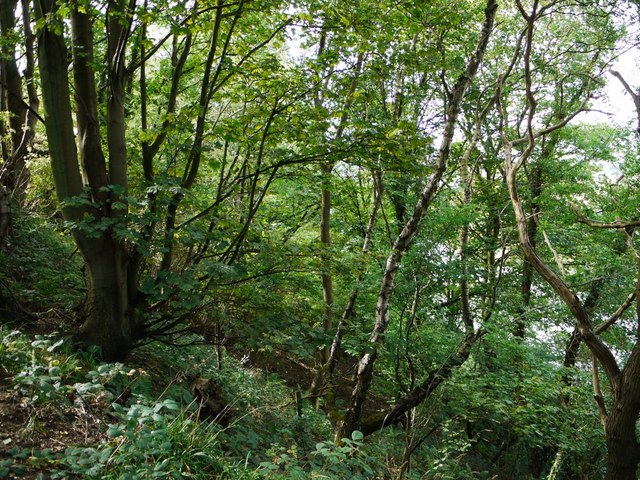
Woodland above Eltringham Scar

-
Description
"The scar is a heavily wooded, steep slope above the railway line and the River Tyne. The photo location is just west of the site of an earlier fire-brick factory shown on the 1865 OS map near the bottom of Coldkettle Dene. It may have been in operation from 1840 to 1870 http://www.keystothepast.info/durhamcc/K2P.nsf/K2PDetail?readform&PRNMAP=N10166" Photo by Andrew Curtis, 2011. -
Owner
Andrew Curtis -
Source
Geograph (Geograph) -
License
What does this mean? Creative Commons License
-
Further information
Link: http://www.geograph.org.uk/photo/2599705
Resource type: Image
Added by: Simon Cotterill
Last modified: 8 years, 4 months ago
Viewed: 880 times
Picture Taken: 2011-09-12 -
Co-Curate tags


