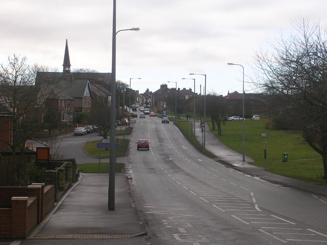
Lobley Hill Road, between Langley Moor and Meadowfield


-
Description
"There is a very narrow green belt (on the right hand side of the picture) between the former mining villages of Langley Moor and Meadowfield. The road in the picture is the A690 between Durham and Willingon" Photo by Oliver Dixon, 2006. -
Owner
Oliver Dixon -
Source
Geograph (Geograph) -
License
What does this mean? Creative Commons License
-
Further information
Link: http://www.geograph.org.uk/photo/124380
Resource type: Image
Added by: Simon Cotterill
Last modified: 8 years, 12 months ago
Viewed: 1085 times
Picture Taken: 2006-02-17 -
Co-Curate tags


