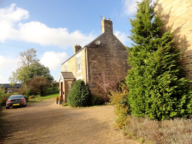
Clifford's House Farm, Quebec


-
Description
"This farm is to the south of the present village, which wasn't built until the late C19. In contrast, the farm here is shown on the 1861 Ordnance Survey map, and is probably early C19 in date. However, this was not the original farmhouse and doesn't appear until the 1923 O S map." Photo by Robert Graham, 2016. -
Owner
Robert Graham -
Source
Geograph (Geograph) -
License
What does this mean? Creative Commons License
-
Further information
Link: http://www.geograph.org.uk/photo/5356257
Resource type: Image
Added by: Pat Thomson
Last modified: 8 years, 9 months ago
Viewed: 1144 times
Picture Taken: 2016-10-25 -
Co-Curate tags


