Earle (Northumberland)


-
Description
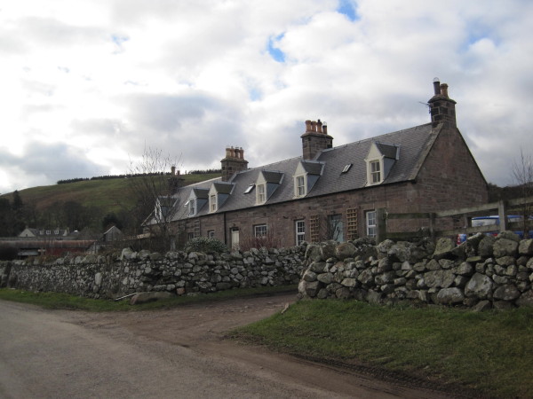
"Earle parish lies in north Northumberland and stretches from the banks Wooler Water in the north-east to the summit of The Cheviot in the south-west. Much of the parish is made up of the hills to either side of the Harthope Burn.....In medieval times people lived in small villages and hamlets at Middleton Hall and Earle. There were also other smaller settlements called shielings as found by the Harthope Burn and Carey Burn Bridge. Shepherds lived in shielings in the summer months whilst looking after sheep on high pastures...." -
Owner
Keys to the Past (Durham & Northumbria County Councils) -
Source
Local (Co-Curate) -
License
What does this mean? Unknown license check permission to reuse
-
Further information
Link: http://www.keystothepast.info/article/10339/Site-Detailsx?PRN=N13768
Resource type: Text/Website
Added by: Simon Cotterill
Last modified: 9 years, 7 months ago
Viewed: 893 times
Picture Taken: Unknown -
Co-Curate tags


