The Kettles univallate hillfort and enclosed settlement, 261m north west and 331m south west of King's Chair - List Entry

-
Description
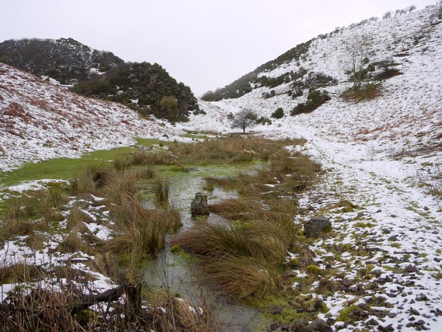
"The monument, which falls in two areas, includes a univallate hillfort of Iron Age date, situated on a promontory on the east slope of Kenterdale Hill and an enclosed settlement of Romano-British date, situated on the east slope of Earle Whin. The Kettles univallate hillfort, also known as Greenside Camp and Maiden Castle, has steep natural slopes to the south, east and north east with more gradual slopes in other directions. The enclosure is irregularly-shaped, reflecting the local topography, and is separated into two parts by triple ramparts..'." -
Owner
Historic England -
Source
Local (Co-Curate) -
License
What does this mean? Unknown license check permission to reuse
-
Further information
Link: https://historicengland.org.uk/listing/the-list/list-entry/1006530
Resource type: Text/Website
Added by: Simon Cotterill
Last modified: 9 years, 3 months ago
Viewed: 1032 times
Picture Taken: Unknown -
Co-Curate tags


