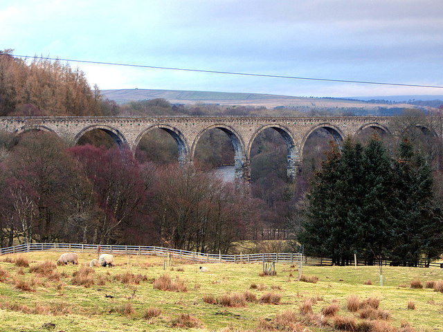
Lambley Viaduct from south


-
Description
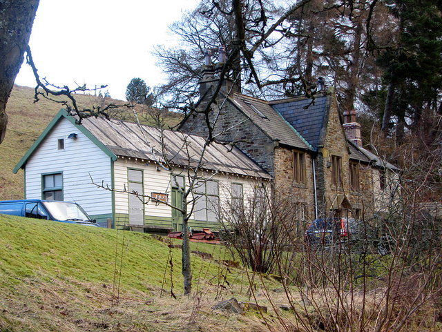
"Lambley Viaduct on the Alston Branch Railway crosses the River South Tyne between Alston and Haltwhistle in a series of tall and elegant arches and was the engineering centrepiece of the Newcastle & Carlisle Railway's branch line to Alston. The viaduct opened in November 1852, a few months after the rest of the line, and was closed in 1976 when the viaduct fell into decay with some of its stonework falling into the river. The structure was Grade II* listed in August 1985. A survey was carried out in 1994; it was restored over the following two years and much of the masonry replaced, repointed with lime mortar imported from France. The 260m long viaduct is thought to have been designed by Sir George Barclay Bruce (1821-1908), an eminent Victorian engineer. The river is crossed by nine 17-metre (56 ft) wide arches, with three 20-foot arches to the north side and four on a curve at the southern end, supporting a deck 32 metres (105 ft) above the river but, as it carried a single track, only 3.5 metres (11 ft) wide. The piers to the arches are built of massive rough-faced stones each weighing up to 500 kilograms (1,100 lb), with similar-sized stones in ashlar to the main arch voussoirs. The spandrels and piers to the 6-metre (20 ft) wide approach arches are built of coursed rubble masonry. At one time, a pedestrian footbridge crossed the water, supported by the viaduct's piers. Today Lambley Viaduct accommodates the South Tyne Trail although the west end has been fenced off to stop people straying into the former Lambley Railway Station which is now a private house. Access to that end of the viaduct is by a series of steps leading down from the north side. The South Tynedale Railway Preservation Society have acquired both the Lambley Viaduct and Alston Arches and have an ambitious aim to reopen the entire line from Alston to Haltwhistle by 2022 " Photo by Andrew Curtis, 2015, and licensed for reuse under a Creative Commons Licence. -
Owner
Geograph.org.uk -
Source
Geograph (Geograph) -
License
What does this mean? Attribution-ShareAlike 2.0 Generic (CC BY-SA 2.0)
-
Further information
Link: http://www.geograph.org.uk/photo/4363880
Resource type: Text/Website
Added by: Peter Smith
Last modified: 9 years, 7 months ago
Viewed: 1375 times
Picture Taken: Unknown -
Co-Curate tags


