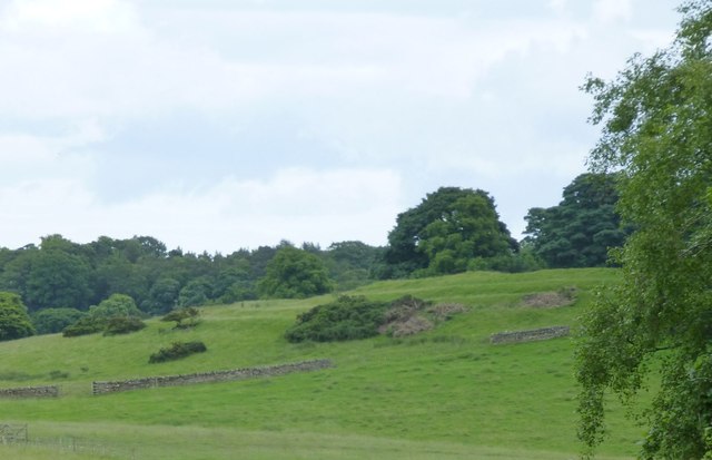
Defended settlement on Slate Hill

-
Description
"The monument includes a defended settlement of Iron Age date occupying the summit of Slate Hill. The roughly semicircular enclosure measures a maximum of 98m east to west by 62m north to south within four concentric ramparts on the north and west sides. " Photo by Russel Wills, 2016, and licensed for reuse under a Creative Commons Licence. -
Owner
Geograph.org.uk -
Source
Geograph (Geograph) -
License
What does this mean? Attribution-ShareAlike 2.0 Generic (CC BY-SA 2.0)
-
Further information
Link: http://www.geograph.org.uk/photo/5016349
Resource type: Text/Website
Added by: Simon Cotterill
Last modified: 9 years, 4 months ago
Viewed: 984 times
Picture Taken: Unknown -
Co-Curate tags


