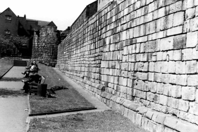
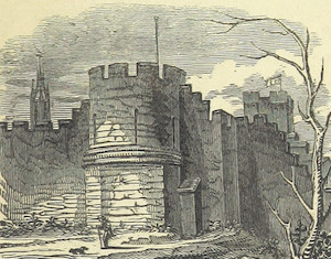
Old City Wall, Newcastle-upon Tyne

-
Description
Scan of 1974 print. Location is shown on map and on Google Earth at 54deg58'16.35N 1deg37'14.74"W -
Owner
Terry Wha -
Source
Flickr (Flickr) -
License
What does this mean? Attribution License
-
Further information
Link: https://www.flickr.com/photos/24592131@N00/452158366/
Resource type: Image
Added by: Simon Cotterill
Last modified: 9 years ago
Viewed: 1136 times
Picture Taken: Unknown -
Co-Curate tags


