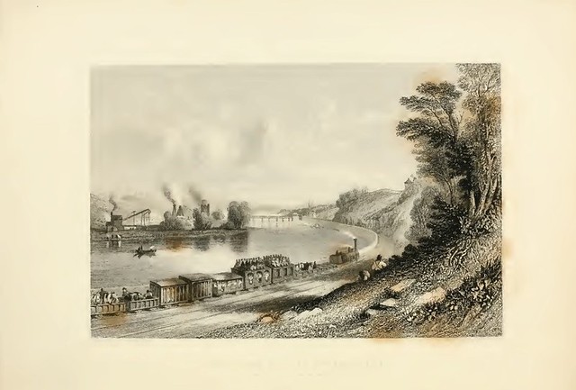
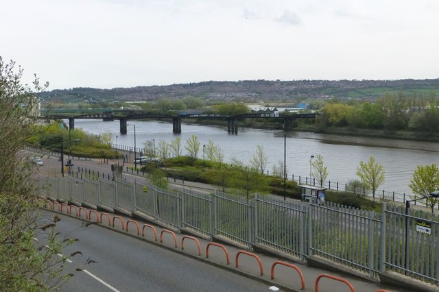
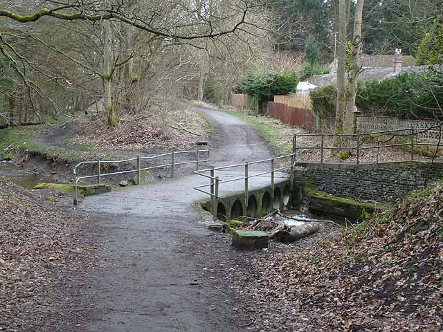
A series of views along the route of the Newcastle and Carlisle Railway, in 1838. Number 1...The river wall at Wylam Scars.

-
Description
Original description to this plate as follows: ''The river wall at Wylam Scars, on the south bank of the river Tyne, 9 miles from Newcastle, is three-quarters of a mile in length, and 26ft in height from the low-water level to the top of the railway. It is built of rubble stone, quarried from the rocky scars above it. The river formerly flowed close up to the base of the scars, which are about 90ft in height above the railway, and presented at one time, to all appearance, a formidable barrier to the formation of a railway. To the left of the view, or on the north side of the Tyne, is Wylam colliery, belonging to Christopher Blackett Esq., and the Wylam ironworks, lately established by the Messers.Thompson. The bridge in the distance was erected by subscription since the opening of this part of the railway, for the purpose of affording a ready communication between the railway and the works above named, as well as for the accomodation of the public generally, it being suitable for the passage of every description of vehicle, as well as for railway waggons. It consists of a timber roadway, with piers and abutments of stone, there are 9 openings of 40ft span each''. I wish I could have made these plates larger, so that it would be easier to see the detail, because they are a treat to look at close-up, but it was not possible. If you look closely at the train, you can see cattle and horses in open-waggons.....and 3rd-class passengers sitting on the roof of the carriage! Better seen in ''all sizes''. -
Owner
-
Source
Flickr (Flickr) -
License
What does this mean? Unknown license check permission to reuse
-
Further information
Link: https://farm3.staticflickr.com/2798/4102097880_0c09f78e40.jpg
Resource type: Image
Added by: Simon Cotterill
Last modified: 11 years, 7 months ago
Viewed: 1707 times
Picture Taken: Unknown -
Co-Curate tags
