East Dod Law hillfort (Doddington)


-
Description
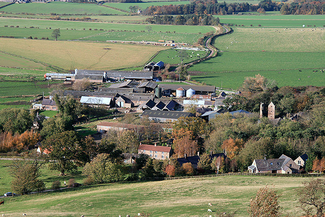
....Situated on the near level summit of a rise approximately 630 feet above sea level. The position is not strong defensively, all the natural slopes being gentle with dead ground in the near vicinity. This mutilated earthwork consists of an ovoid area enclosed by two concentric ramparts of earth with some stones visible in places. The inner bank is the best preserved with a width varying from 4m to 5m and a maximum height of 0.5m. The outer bank visible only on the west and north sides with faint traces to the east is 3m to 4m wide with a maximum height 0.4m. There are three surveyable gaps in the banks, none certainly original except possibly that on the west side which is slightly downhill and which would give access to the lower ground. There are no obvious traces of habitation in the bracken covered interior of the enclosure. The non-defensive situation, slight banks and absence of occupation traces, indicate that this enclosure was for stock purposes. There is insufficient evidence for dating purposes.... -
Owner
Keys to the Past (Durham & Northumbria County Councils) -
Source
Local (Co-Curate) -
License
What does this mean? Unknown license check permission to reuse
-
Further information
Link: https://keystothepast.info/search-records/results-of-search/results-of-search-2/site-details/?PRN=N3802
Resource type: Text/Website
Added by: Simon Cotterill
Last modified: 1 hour, 29 minutes ago
Viewed: 8 times
Picture Taken: Unknown -
Co-Curate tags
")
