Killingworth


-
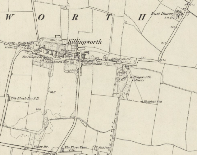
Description
Extract from Ordnance Survey map: Surveyed: 1858, Published: 1865. Northumberland Sheet LXXXIX. CC-BY (NLS) -
Owner
Ordnance Survey -
Source
Local (Co-Curate) -
License
What does this mean? Unknown license check permission to reuse
-
Further information
Link: https://maps.nls.uk/view/102346464
Resource type: Text/Website
Added by: Simon Cotterill
Last modified: 4 months, 3 weeks ago
Viewed: 123 times
Picture Taken: Unknown -
Co-Curate tags


