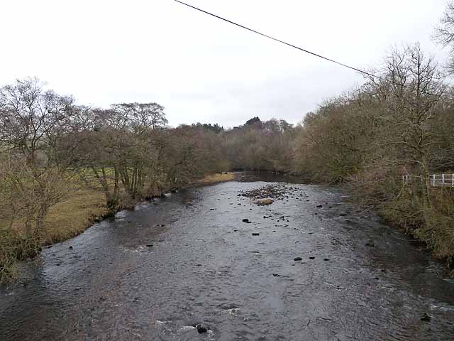
Bridge over Cottonshope Burn near Low Byrness


-
Description
"Provides access across Cottonshope Burn from a layby on the A68 near Cottonshopeburnfoot to what is shown on the map as a picnic area. There are some nice specimen trees and open woodland adjacent to the swiftly flowing stream. It was probably created when the forest was planted as a public amenity area." Photo by Andrew Curtis, 2020. -
Owner
Andrew Curtis -
Source
Geograph (Geograph) -
License
What does this mean? Creative Commons License
-
Further information
Link: http://www.geograph.org.uk/photo/6644260
Resource type: Image
Added by: Simon Cotterill
Last modified: 9 months ago
Viewed: 209 times
Picture Taken: 2020-10-14 -
Co-Curate tags


