Chapelburn Farmhouse


-
Description
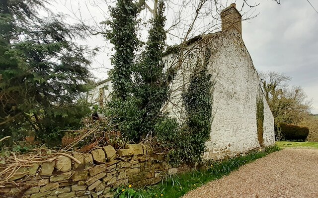
"Ordnance Survey documents indicate that a benchmark levelled at 108.753m above Newlyn Datum was verified in 1955 on the near corner, right hand face, of the house" Photo by Roger Templeman, 2023. -
Owner
Roger Templeman -
Source
Geograph (Geograph) -
License
What does this mean? Creative Commons License
-
Further information
Link: http://www.geograph.org.uk/photo/7467240
Resource type: Image
Added by: Simon Cotterill
Last modified: 10 months ago
Viewed: 224 times
Picture Taken: 2023-04-26 -
Co-Curate tags
")

