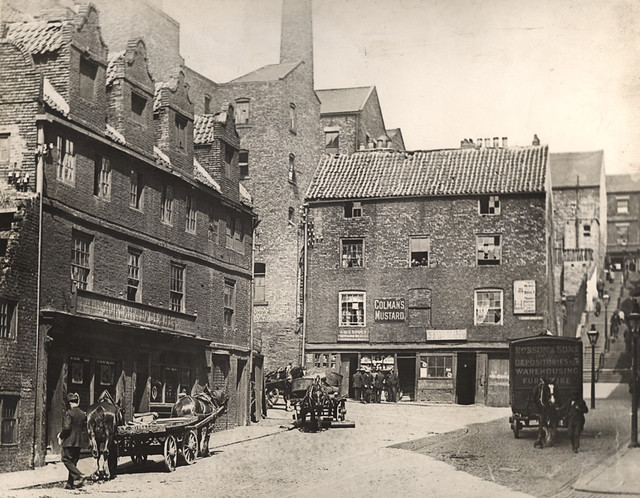
Sandgate, The Swirle


-
Description
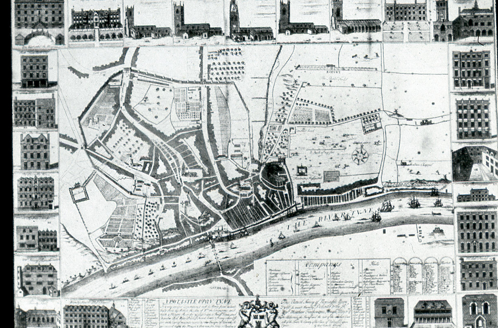
Small lane between Sandgate and the Quayside. Shown on Hutton's map of 1770 as 'Swerle'. The street name was derived from the stream, the word 'swirle' meaning the meandering of a stream of water. The 66th boundary stone of the borough of Newcastle stood at the north-west corner of the Swirle. Bourne records that..... -
Owner
Sitelines -
Source
Local (Co-Curate) -
License
What does this mean? Unknown license check permission to reuse
-
Further information
Link: https://sitelines.newcastle.gov.uk/SMR/10474
Resource type: Text/Website
Added by: Simon Cotterill
Last modified: 10 months ago
Viewed: 237 times
Picture Taken: Unknown -
Co-Curate tags
")

