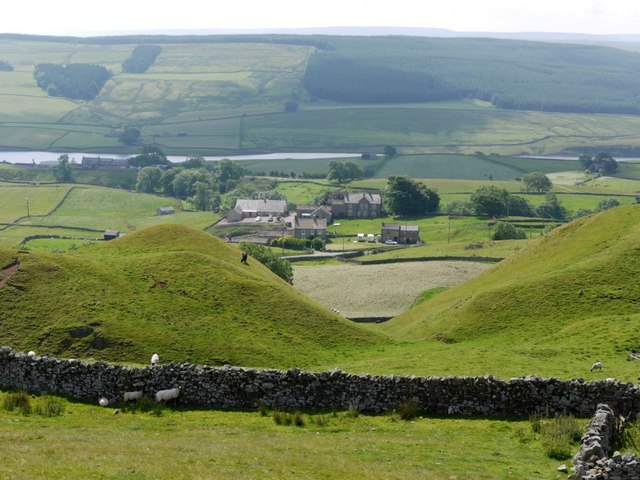
Thringarth above Grassholme Reservoir


-
Description
"Photo taken from the Pennine Way near Pin Gate, south of Harter Fell, through a small valley between the natural hills on the slope called Knots. The big house just right of centre is Low Nook. Thringarth Farmhouse, in front to its left, dates from around 1840 and is a Listed Building https://www.historicengland.org.uk/listing/the-list/list-entry/1121838 The large forest plantation of Brownberry is on the hillside above the reservoir." Photo by Andrew Curtis, 2011. -
Owner
Andrew Curtis -
Source
Geograph (Geograph) -
License
What does this mean? Creative Commons License
-
Further information
Link: http://www.geograph.org.uk/photo/2508883
Resource type: Image
Added by: Simon Cotterill
Last modified: 1 year ago
Viewed: 227 times
Picture Taken: 2011-07-15 -
Co-Curate tags


