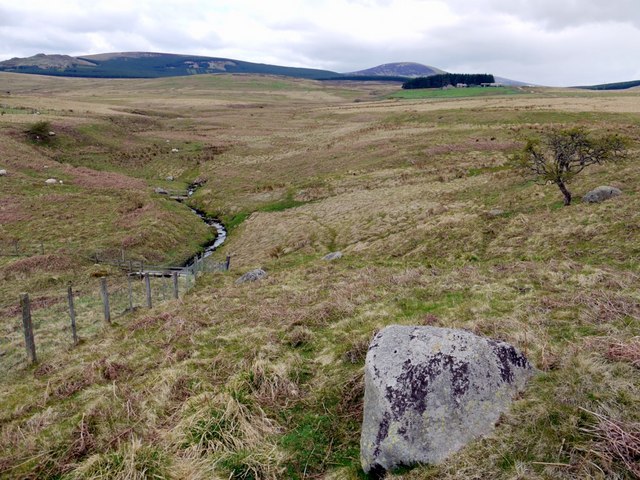
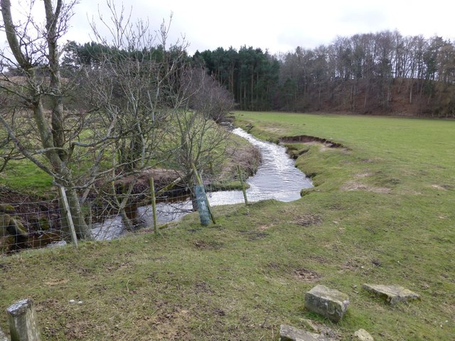
Roddam Burn, east of The Dod

-
Description
"This photo is part of a virtual walk; go here for the start [[1833301]] or here to continue [[1835025]] There is a junction of bridleways near this point. The route west to The Dod and Threestoneburn, which we are taking, stays on the right bank. Another route, crossing the footbridge below, heads south-west for Linhope and the Salter's Road." Photo by Andrew Curtis, 2010. -
Owner
Andrew Curtis -
Source
Geograph (Geograph) -
License
What does this mean? Creative Commons License
-
Further information
Link: http://www.geograph.org.uk/photo/1834953
Resource type: Image
Added by: Peter Smith
Last modified: 1 year, 5 months ago
Viewed: 255 times
Picture Taken: 2010-04-30 -
Co-Curate tags


