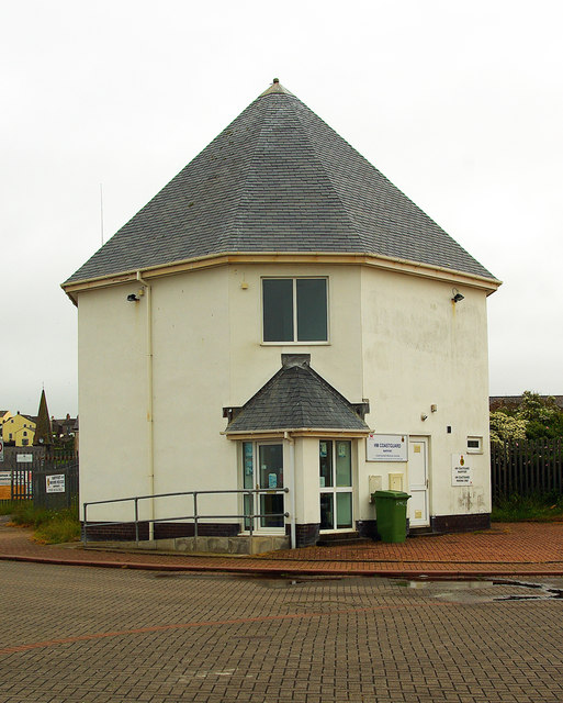
High Street, Maryport

-
Description
"Like Whitehaven, Maryport was set out in the 18C as a grid of streets, mostly lined with houses. This view is looking south from Wood Street." Photo by Humphrey Bolton, 2004. -
Owner
Humphrey Bolton -
Source
Geograph (Geograph) -
License
What does this mean? Creative Commons License
-
Further information
Link: http://www.geograph.org.uk/photo/87814
Resource type: Image
Added by: Simon Cotterill
Last modified: 1 year, 5 months ago
Viewed: 201 times
Picture Taken: 2004-01-03 -
Co-Curate tags


