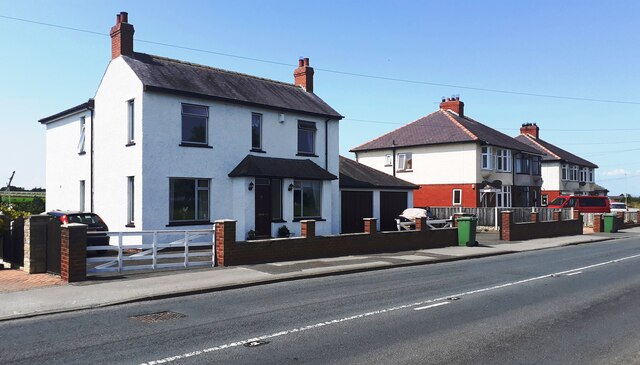
Houses on east side of Durdar Road, opposite recreation ground

-
Description
"Ordnance Survey records indicate that a benchmark levelled at 48.091m above Newlyn Datum was verified in 1972 on the front of the nearest house (#124) on its left hand corner. The house is now pebbledashed." Photo by Roger Templeman, 2021. -
Owner
Roger Templeman -
Source
Geograph (Geograph) -
License
What does this mean? Creative Commons License
-
Further information
Link: http://www.geograph.org.uk/photo/6906726
Resource type: Image
Added by: Simon Cotterill
Last modified: 1 year, 8 months ago
Viewed: 276 times
Picture Taken: 2021-07-21 -
Co-Curate tags


