High Shittlehope Burn Farm and Barn


-
Description
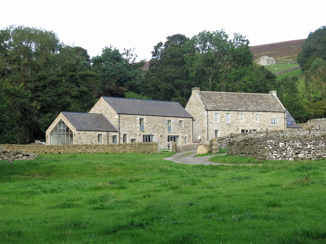
"See [[5796002]]. The farm is not particularly "high" - it's only 150 metres or so from the main road through Weardale (the A689) and only slightly above it - and was probably so named only to distinguish it from Shittlehope Burn Farm on the south side of the road. Christine Ruskin gives the name as simply "Shittlehope", as does the 1:25,000 map. She gives an earliest record of occupation of 1381, followed by the names of two occupants in the mid-17th C, then the 1901 census. The buildings were semi-derelict when photographs were taken for the 1st edition of the book, but in the second, a photo of the renovations is dated 2015. [[6637589]], which is some 75 metres higher up, can be seen through the gap in the trees on the right." Photo by Mike Quinn, 2020. -
Owner
Mike Quinn -
Source
Geograph (Geograph) -
License
What does this mean? Creative Commons License
-
Further information
Link: http://www.geograph.org.uk/photo/7105869
Resource type: Image
Added by: Pat Thomson
Last modified: 2 years, 3 months ago
Viewed: 657 times
Picture Taken: 2020-09-18 -
Co-Curate tags


