Harwood Shield medieval or post-medieval farmstead (Hexhamshire and District)


-
Description
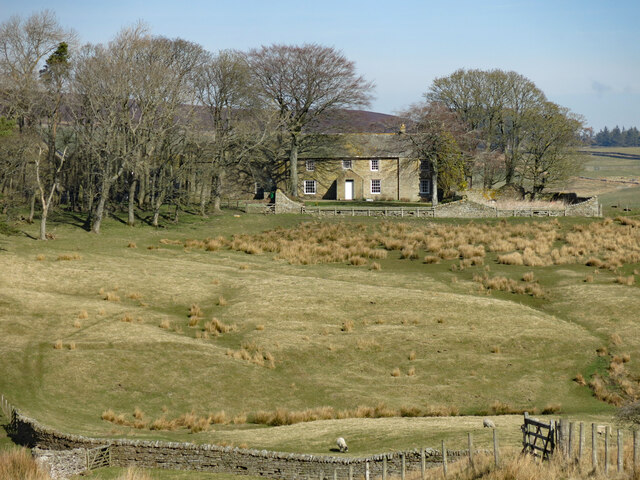
"Lidar survey has identified a complex of earthworks covering an area of about 115m by 100m. They are indicative of a group of enclosures, field banks, paddocks and structures, which collectively are suggestive of a farmstead. Both the earthworks and nearby ridge and furrow cultivation exhibit a degree of complexity suggestive of chronological depth, and may accordingly indicate more than a single period of activity. To the north and east there are numeroud embanked fields which clearly pre-date the period of parliamentary enclosure..." -
Owner
Keys to the Past (Durham & Northumbria County Councils) -
Source
Local (Co-Curate) -
License
What does this mean? Unknown license check permission to reuse
-
Further information
Link: https://keystothepast.info/search-records/results-of-search/results-of-search-2/site-details/?PRN=N28166
Resource type: Text/Website
Added by: Simon Cotterill
Last modified: 2 years, 5 months ago
Viewed: 452 times
Picture Taken: Unknown -
Co-Curate tags


