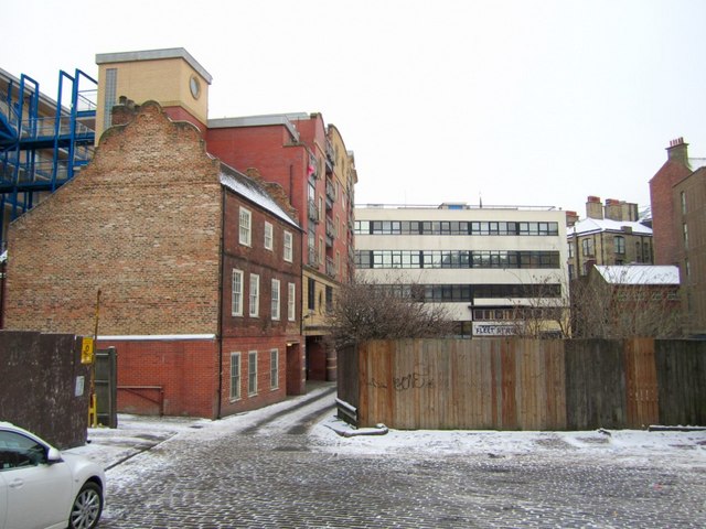
Rosemary Lane from St John Street

-
Description
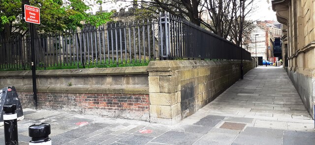
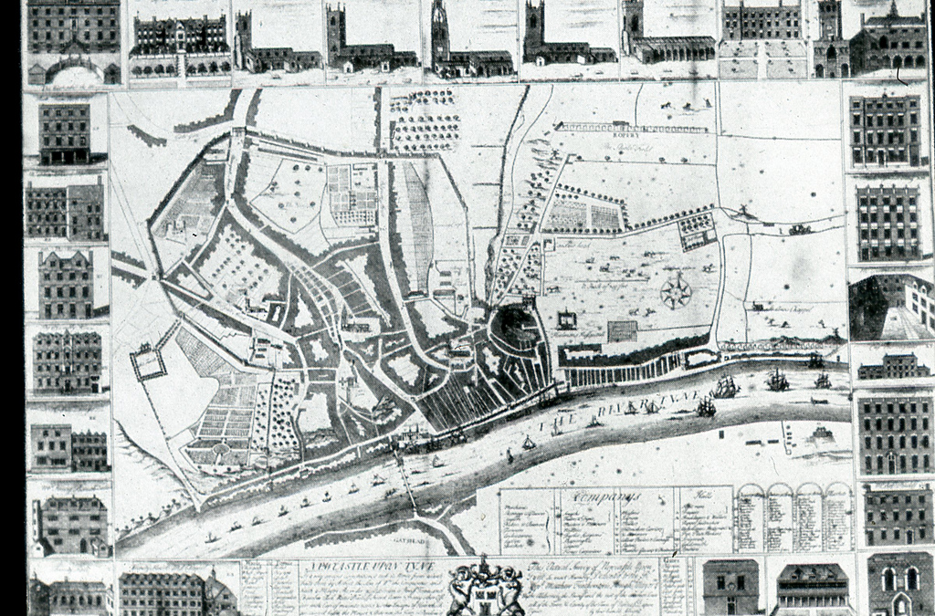
"Rosemary Lane continues to the right as a pedestrian alley to Westgate Road, between St John's Churchyard and the Union Rooms. This may have been the Medieval St John's Chare shown on Hutton's map of 1770 Tyne and Wear HER (6561): Newcastle, St. Johns Chare (Rosemary Lane) http://www.twsitelines.info Rosemary Lane was the site of Newcastle's first Lying-In Hospital (maternity) between 1760 and 1826 when a new building was built in New Bridge Street [[1695280]] http://www.nationalarchives.gov.uk/hospitalrecords/details.asp?id=1273&page=46 The lane bends at the east end of St John Street here to join Pudding Chare opposite Thompson House and the Fleet Street Bar (just visible over the fence) [[2133275]]. Old buildings on the lane and its corner with Pudding Chare were demolished in 2000 and new apartment buildings erected, known as Parrish View. One of the old properties was retained (nearest the camera). This red brick building with the curved Flemish gable is Grade II Listed as No. 7 Rosemary Lane and dates from around 1700. Tyne and Wear HER (8735): Newcastle, Rosemary Lane (St. John St.), No. 7 http://www.twsitelines.info There are photos of this location during the building works in 2000 here: http://home.freeuk.net/timarchive/html/westgate_house.htm" Photo by Andrew Curtis, 2010. -
Owner
Andrew Curtis -
Source
Geograph (Geograph) -
License
What does this mean? Creative Commons License
-
Further information
Link: http://www.geograph.org.uk/photo/2217090
Resource type: Image
Added by: Simon Cotterill
Last modified: 2 years, 6 months ago
Viewed: 569 times
Picture Taken: 2010-12-21 -
Co-Curate tags


