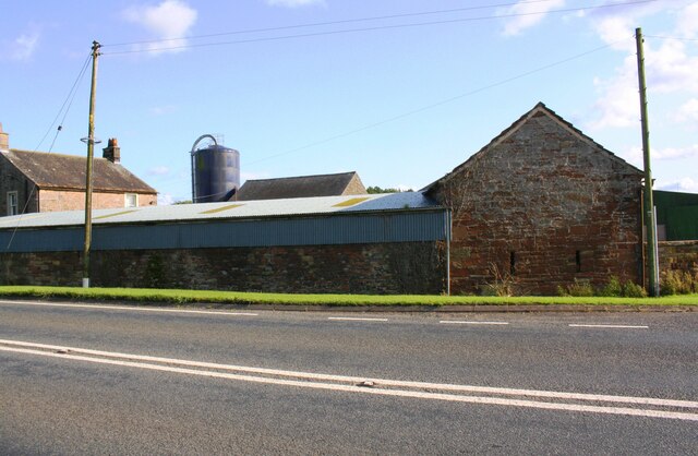
Moorend Farm on south side of A596

  • Description

    "There is an Ordnance Survey benchmark [[6784808]] on the right hand corner, road face, of the stone barn" Photo by Luke Shaw, 2019.
  • Owner

    Luke Shaw
  • Source

    Geograph (Geograph)
  • License

    What does this mean? Creative Commons License
  • Further information

    Link: http://www.geograph.org.uk/photo/6784814
    Resource type: Image
    Added by: Simon Cotterill
    Last modified: 10 months, 3 weeks ago
    Viewed: 101 times
    Picture Taken: 2019-08-13
  • Co-Curate tags

Comments

Add a comment or share a memory.

Login to add a comment. Sign-up if you don't already have an account.

ABOUT US

Co-Curate is a project which brings together online collections, museums, universities, schools and community groups to make and re-make stories and images from North East England and Cumbria. Co-Curate is a trans-disciplinary project that will open up 'official' museum and 'un-officia'l co-created community-based collections and archives through innovative collaborative approaches using social media and open archives/data.

LATEST SHARED RESOURCES