Tyne and Wear HER(6569): Newcastle, The Close


-
Description
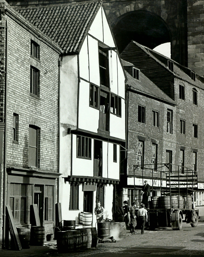
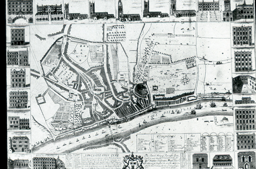
"Documentary evidence suggests that the waterfront was not fully developed until the late 13th century/14th century. There is archaeological evidence to support the view that some reclamation was necessary before the two streets, The Close and the Quayside could be laid out in their present form. The Close was a true street with houses on both sides. The highway must have emerged between the date of two grants in 1230-40 and 1276-7. The document of 1276 relates to land lying between highway and river "in the Close". Levelling-up was necessary before building on the new street line. Even when completed, The Close led only to open ground at the Skinner Burn, and no medieval suburb seems to have developed outside Close Gate. It was connected to the upper part of the town by Tuthill Stairs, Long Stairs and Castle Stairs. The residents of The Close were wealthy "Gentlemen of Figure" (Bourne)...." -
Owner
SiteLines -
Source
Local (Co-Curate) -
License
What does this mean? Unknown license check permission to reuse
-
Further information
Link: https://sitelines.newcastle.gov.uk/SMR/6569
Resource type: Text/Website
Added by: Simon Cotterill
Last modified: 3 years ago
Viewed: 513 times
Picture Taken: Unknown -
Co-Curate tags
")


