Birdoswald Roman fort and the section of Hadrian's Wall and vallum between the River Irthing and the field boundaries east of milecastle 50


-
Description
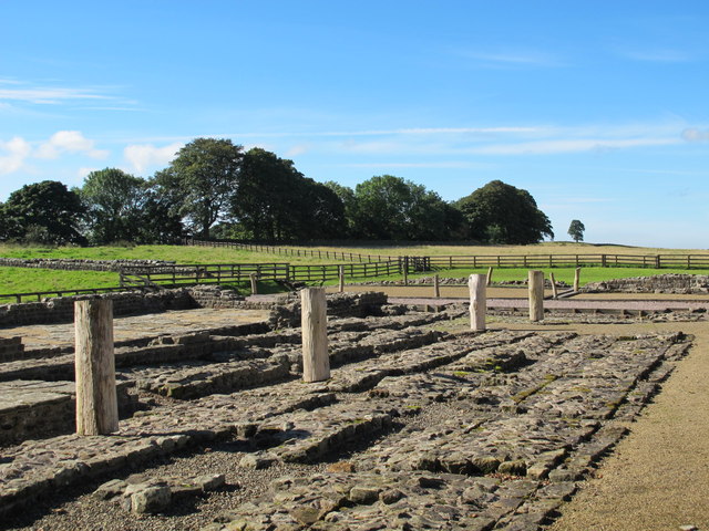
"....The monument includes the Roman fort at Birdoswald and the section of Hadrian's Wall and vallum and their associated features between the River Irthing in the east and the field boundaries east of milecastle 50 in the west. In the original construction of Hadrian's Wall, the Wall west of the River Irthing was built as a turf rampart, probably due to a lack of building stone in the immediate vicinity. East of the Irthing the Wall was built from stone. However, by the end of the second century AD, the Turf Wall section was rebuilt in stone. The Turf Wall ran from the milecastle at Harrow's Scar to the south side of the east gate of Birdoswald fort, continuing on the west side from the west gate. However, excavations in 1894 by the Cumberland Excavation Committee and in 1945 by Simpson and Richmond showed that the Turf Wall and its ditch were overlain by the fort....." -
Owner
Historic England -
Source
Local (Co-Curate) -
License
What does this mean? Unknown license check permission to reuse
-
Further information
Link: https://historicengland.org.uk/listing/the-list/list-entry/1010994
Resource type: Text/Website
Added by: Simon Cotterill
Last modified: 3 years, 2 months ago
Viewed: 546 times
Picture Taken: Unknown -
Co-Curate tags


