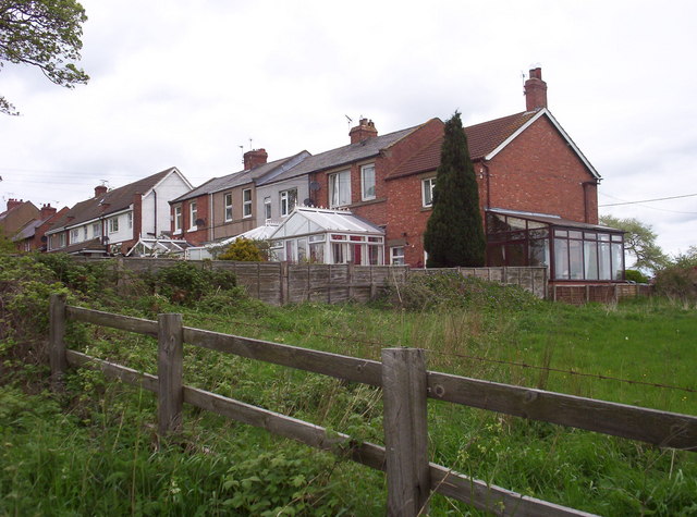
Barmoor Colliery (Hepscott)

-
Description
"Barmoor Colliery is depicted and labelled on the Ordnance Survey map of 1898. It is not shown on the 1866 edition. Air photos taken in 1947 show a spoil heap and four buildings. The buildings have now been removed and the ground has been relandscaped." -
Owner
Keys to the Past (Durham & Northumbria County Councils) -
Source
Local (Co-Curate) -
License
What does this mean? Unknown license check permission to reuse
-
Further information
Link: https://keystothepast.info/search-records/results-of-search/results-of-search-2/site-details/?PRN=N28641
Resource type: Text/Website
Added by: Simon Cotterill
Last modified: 2 years, 10 months ago
Viewed: 459 times
Picture Taken: Unknown -
Co-Curate tags


