Topics > Northumberland > Barmoor, Morpeth
from Geograph (geograph)
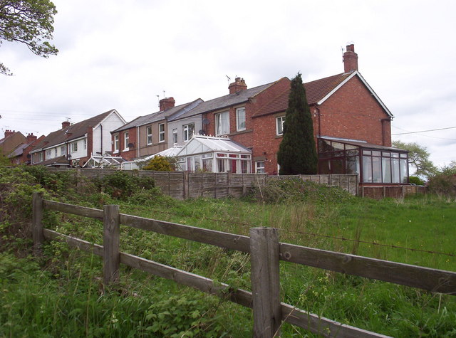
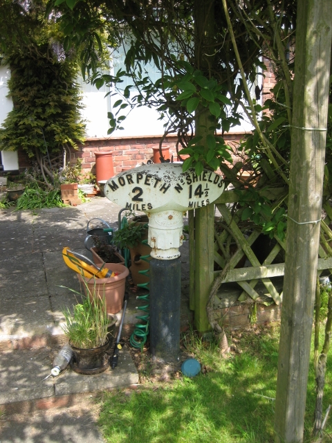
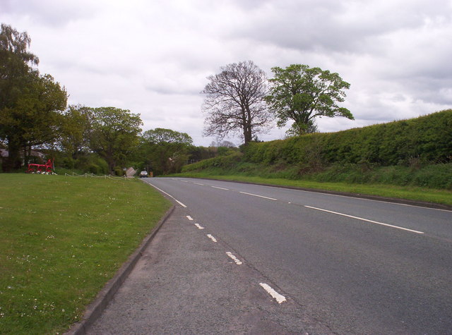
Old Milepost, A192, Barmoor Bank, North of Hepscott Bridge
Pinned by Simon Cotterill

from https://keystothepast.info/se…
Barmoor Colliery (Hepscott)
- "Barmoor Colliery is depicted and labelled on the Ordnance Survey map of 1898. It is not shown on the 1866 edition. Air photos taken in 1947 show a spoil heap …
Added by
Simon Cotterill

from Geograph (geograph)
Old Milepost, A192, Barmoor Bank, North of Hepscott Bridge
Pinned by Simon Cotterill
from https://keystothepast.info/se…
Barmoor Colliery (Hepscott)
- "Barmoor Colliery is depicted and labelled on the Ordnance Survey map of 1898. It is not shown on the 1866 edition. Air photos taken in 1947 show a spoil heap …
Added by
Simon Cotterill


