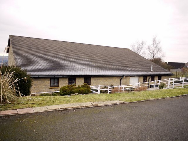
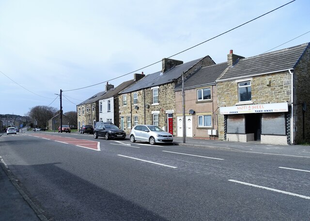
Jubilee Hall, Dipton

-
Description
"This area is shown on old maps as Collierley, from “Collier Lea”, “lea” meaning a meadow in an area of coal pits. It was one of three early townships along with Pontop and Dipton. http://www.durham-miner.org.uk/miner/projects.nsf/0/0dde72a0c6a65cf280256e8b00509423?OpenDocument" Photo by Andrew Curtis, 2011. -
Owner
Andrew Curtis -
Source
Geograph (Geograph) -
License
What does this mean? Creative Commons License
-
Further information
Link: http://www.geograph.org.uk/photo/2239107
Resource type: Image
Added by: Simon Cotterill
Last modified: 3 years, 3 months ago
Viewed: 387 times
Picture Taken: 2011-01-07 -
Co-Curate tags


