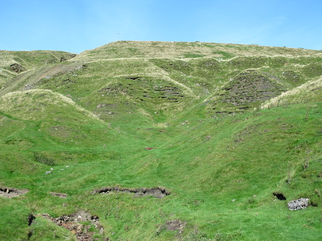
Old mine workings at Blagill

-
Description
"The satellite image shows the effects of the extensive mining operations in this area https://www.google.co.uk/maps/@54.82213,-2.4101193,432m/data=!3m1!1e3 ." Photo by Mike Quinn, 2016. -
Owner
Mike Quinn -
Source
Geograph (Geograph) -
License
What does this mean? Creative Commons License
-
Further information
Link: http://www.geograph.org.uk/photo/5145578
Resource type: Image
Added by: Simon Cotterill
Last modified: 4 years ago
Viewed: 435 times
Picture Taken: 2016-09-17 -
Co-Curate tags


