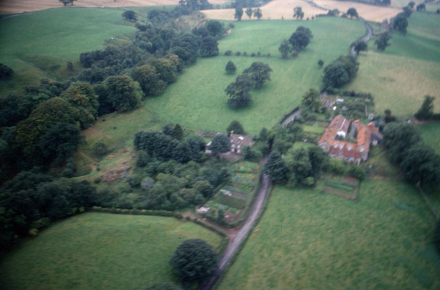
Boothby Roman fort

-
Description
"...The monument includes the site of Boothby Roman fort which is located at a strategic position on the edge of a scar overlooking the River Irthing to the north. The fort was part of the Stanegate system, the first Roman defence system running across the Tyne-Solway route. The existence of the fort has been proven by the combination of an aerial photograph, which highlights features such as the infilled defensive ditch on the fort's south and east sides, and limited archaeological excavation undertaken by Simpson in 1933 who found evidence of the fort's ditch and rampart. A trench dug across the defences revealed that the ditch measured 5.2m wide by 1.8m deep while behind the ditch remains of a beaten clay rampart were located. Roman pottery found during this excavation was dated to the late first/early second century AD. The aerial photograph shows the existence of a gateway on the mid-point of the fort's southern side. The only surface evidence of the fort's existence is a slight hollow which marks the position of the ditch as it curves around the south east corner of the fort...." -
Owner
Historic England -
Source
Local (Co-Curate) -
License
What does this mean? Unknown license check permission to reuse
-
Further information
Link: https://historicengland.org.uk/listing/the-list/list-entry/1014585
Resource type: Text/Website
Added by: Simon Cotterill
Last modified: 4 years, 1 month ago
Viewed: 510 times
Picture Taken: Unknown -
Co-Curate tags


