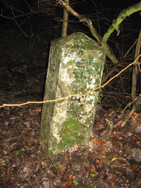
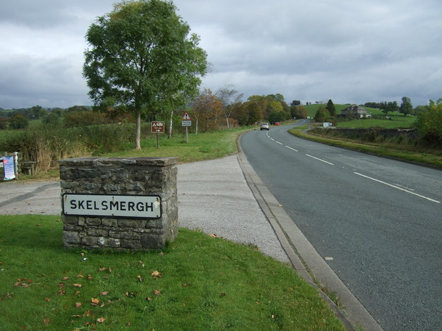
Old Boundary Marker


-
Description
"Parish Boundary Marker on the south side of the A685 Appleby Road between Meal Bank and Grayrigg, opposite a stone wall. On the boundary of Skelsmergh and Scalthwaiterigg and Docker parishes. Inscribed DOCKER and SKELSMERGH on adjacent faces. Milestone Society National ID: WE_SKEDOC01pb" Photo by Mike Rayner, 2019. -
Owner
Mike Rayner -
Source
Geograph (Geograph) -
License
What does this mean? Creative Commons License
-
Further information
Link: http://www.geograph.org.uk/photo/6462633
Resource type: Image
Added by: Simon Cotterill
Last modified: 4 years, 9 months ago
Viewed: 603 times
Picture Taken: 2019-01-20 -
Co-Curate tags


