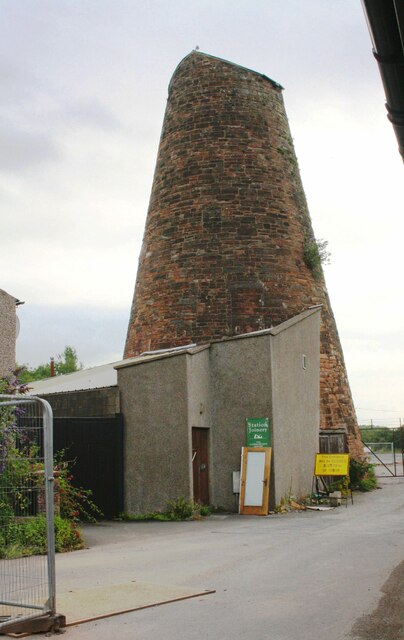
Wigton Windmill from Station Road

-
Description
"Ordnance Survey records describe a benchmark which may have been on this building as: 'Wigton Windmill. Bolt in South side ; 4.86 ft. above surface'. The mark was levelled at 71.026 feet above Liverpool Datum in 1844 during the Kendal to Carlisle Survey. Access was not possible at the time of the visit." Photo by Roger Templeman, 2019. -
Owner
Roger Templeman -
Source
Geograph (Geograph) -
License
What does this mean? Creative Commons License
-
Further information
Link: http://www.geograph.org.uk/photo/6771456
Resource type: Image
Added by: Simon Cotterill
Last modified: 4 years, 10 months ago
Viewed: 545 times
Picture Taken: 2019-07-26 -
Co-Curate tags


