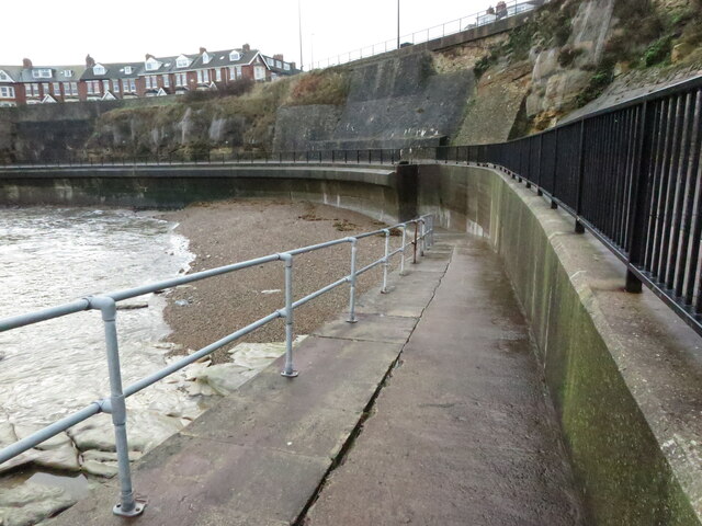
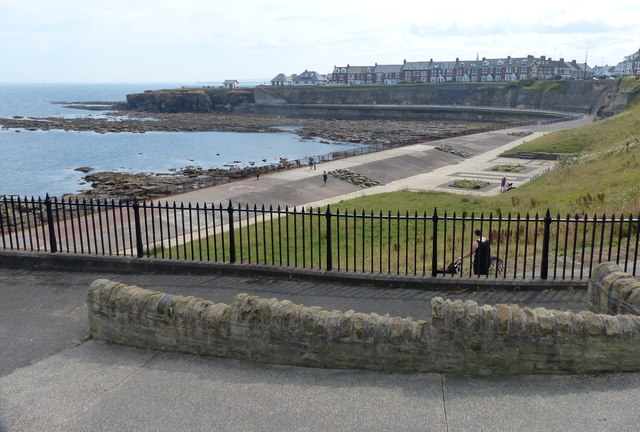
Access Ramp and Sea Defences, Brown's Bay, Whitley Bay


-
Description
"When the first Ordnance Survey Six-Inch map of the area was published in 1865 Brown's Bay, which is accessed via this ramp, was not named on it, although Brown's Point was named along with Brown's Well towards the southern end of the bay. The landside of the bay is now almost totally protected by these substantial sea defences. For a selection of detailed free to download walking routes in the area visit www.norttynesidewalks.co.uk" Photo by Geoff Holland, 2020. -
Owner
Geoff Holland -
Source
Geograph (Geograph) -
License
What does this mean? Creative Commons License
-
Further information
Link: http://www.geograph.org.uk/photo/6700185
Resource type: Image
Added by: Simon Cotterill
Last modified: 4 years, 12 months ago
Viewed: 802 times
Picture Taken: 2020-12-08 -
Co-Curate tags


