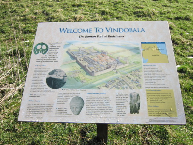
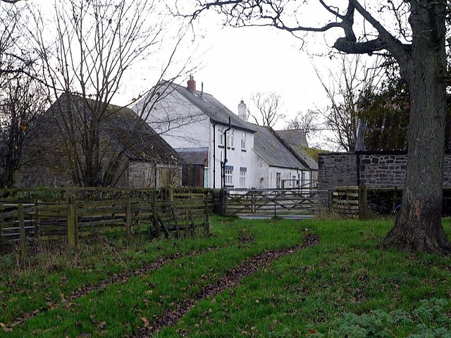
Vindobala Roman Fort (2)

-
Description
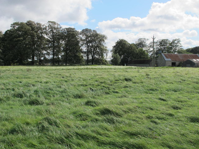
"This is the part south of the Military Road (B6318) that here lies on the line of Hadrian's Wall - see the satellite image http://wtp2.appspot.com/wheresthepath.htm?lat=55.00234011294193&lon=-1.8254370907395443&gz=18&oz=8>=1=1." Photo by Mike Quinn, 2011. -
Owner
Mike Quinn -
Source
Geograph (Geograph) -
License
What does this mean? Creative Commons License
-
Further information
Link: http://www.geograph.org.uk/photo/2603333
Resource type: Image
Added by: Simon Cotterill
Last modified: 4 years, 10 months ago
Viewed: 601 times
Picture Taken: 2011-09-14 -
Co-Curate tags


