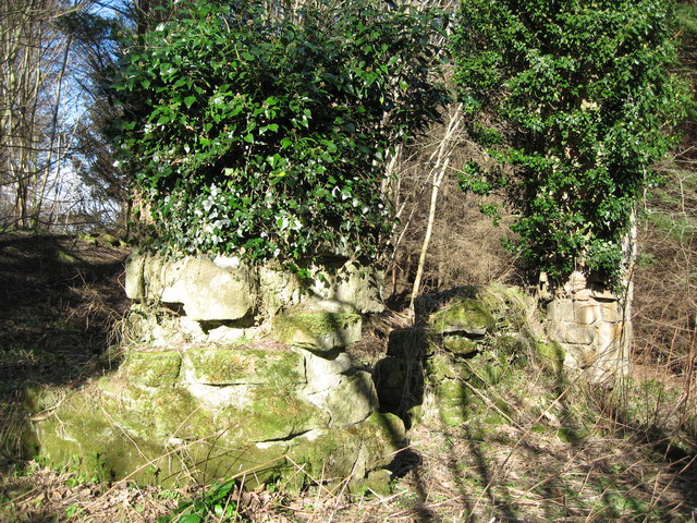
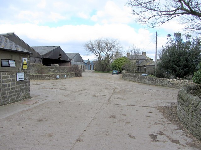
Nafferton Castle/Lonkin's Hall on the west bank of the Whittle Burn adjacent to the A69

-
Description
"The remains of an enclosure castle and a later tower house, situated on the western edge of the steeply incised Whittle Burn. The castle is visible as substantial rectangular enclosure, which measures a maximum of 45m by 7m within a rampart 6m wide and a ditch 10m wide on the northern and western sides; the eastern side of the enclosure is afforded natural defence by the steep slopes above the Whittle Burn and the south side is defended by a natural ravine. Documents record the existence of a castle at the site by 1218, when its owner Philip de Ulecotes was ordered to demolish a new wooden tower which was being constructed without licence. In 1221 the tower, which was still standing, was ordered by the King to be dismantled and its timbers were removed to build a new gaol at Newcastle-upon-Tyne. The defensive earthwork enclosure remained. Within the south western corner of the enclosure there are the remains of a stone built tower house thought to be of C15 or C16 date. The site was held during Edward I reign by the Feltons but was not then in use, although the locally celebrated Lang Lonkins is said to have had a hideout here at a later date. The OS Explorer map 316 shows the site as Lonkin's hall http://www.northofthetyne.co.uk/LittleorNoTraceCastles.html" Photo by Norman MacKillop, 2008. -
Owner
Norman MacKillop -
Source
Geograph (Geograph) -
License
What does this mean? Creative Commons License
-
Further information
Link: http://www.geograph.org.uk/photo/750642
Resource type: Image
Added by: Simon Cotterill
Last modified: 5 years, 2 months ago
Viewed: 822 times
Picture Taken: 2008-03-03 -
Co-Curate tags


