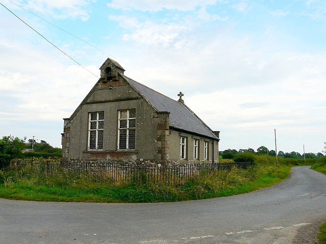
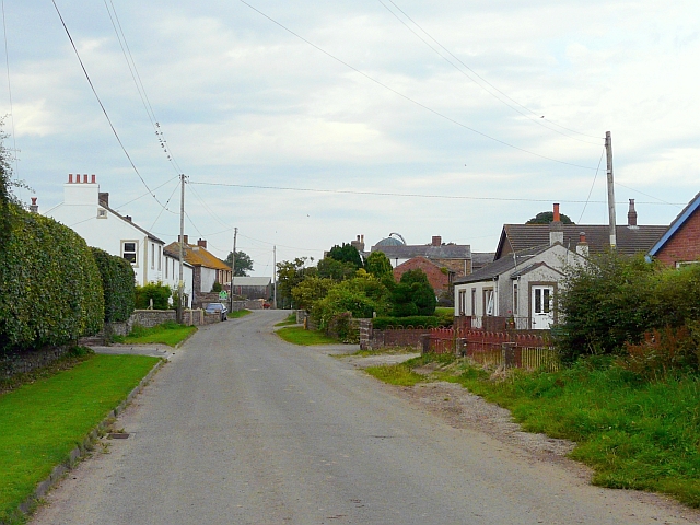
Former chapel, Dundraw

-
Description
"We could not find a definitive name for this building, which appears to be currently unused. An article by the local Women's Institute http://www.visitoruk.com/historydetail.php?id=27114&cid=592&f=Carlisle refers to it as a mission room, built in 1901. It is marked on old maps http://www.old-maps.co.uk/maps.html?txtXCoord=321522&txtYCoord=549700 as 'Church Room'. Dundraw also had a Mission Hall, a short distance from here on the Waverbridge road. That has a datestone of 1896, and has been converted to a house (Google Street View http://maps.google.co.uk/maps?q=dundraw&hl=en&ll=54.835166,-3.219498&spn=0.000822,0.005466&sll=52.8382,-2.327815&sspn=7.767092,22.456055&hnear=Dundraw,+Cumbria,+United+Kingdom&t=h&z=18&layer=c&cbll=54.835166,-3.220522&panoid=N2rExQ5li-DKWSON57EcWA&cbp=12,148.78,,0,-3.8 )." Photo by Rose and Trev Clough, 2012. -
Owner
Rose and Trev Clough -
Source
Geograph (Geograph) -
License
What does this mean? Creative Commons License
-
Further information
Link: http://www.geograph.org.uk/photo/3130030
Resource type: Image
Added by: Simon Cotterill
Last modified: 5 years, 3 months ago
Viewed: 681 times
Picture Taken: 2012-08-12 -
Co-Curate tags


